North Saanich on Foot (and bikes, trikes, and small wheels)
by Jillian Buriak
What a beautiful area we live in. What I have found when exploring North Saanich via human-powered locomotion is that the world slows down, and the finer details come to life. Moving through North Saanich by bike, foot, or other human-powered means enables a level of engagement with your surroundings not possible in a vehicle – you can’t help but meet many people, check out new farm stands, and explore the many interconnected trails that enable you to bypass major streets.
My job as the writer of North Saanich on Foot (NSoF) is to inspire you to try out new paths and trails by sharing a new route every issue, and highlighting the sights, sounds, and flavours along the way. These routes will be divided into four themes, and while accessibility will always be discussed, one theme specifically emphasizes accessibility to all:
Hills and dales
Beaches and trails
Farms and bales
Accessible to all
This issue’s route is an on-foot hills and dales theme, and takes you through the interior of North Saanich where you start near the North Saanich landmarks, Deep Cove Market and Deep Cove School, and head east to enjoy the quiet streets, trails, and sights on the way to the highest viewpoint of Horth Hill Regional Park, situated in a Garry oak meadow. Most of the route is shaded by trees or completely under tree canopy. Some of the route is accessible to small wheels (wheelchairs, kids on bikes), as will be described.
What you need to know:
Route: This treed route starts and ends at the intersection of Clayton Road and West Saanich Road, and takes you to the Horth Hill Regional Park viewpoints, and back. Please note that bikes are not permitted within Horth Hill Regional Park, but if you do cycle there, there is a bike rack at the main parking lot from where you can continue on foot.
- Distance: 5.6 km. Time = 1 to 1.5 hours of active walking
- Number of active street crossings where caution is needed: Two Tatlow Road crossings
- Parking at start: Plenty on Clayton Road
- Bike racks at start: Deep Cove School and St. John’s United Church
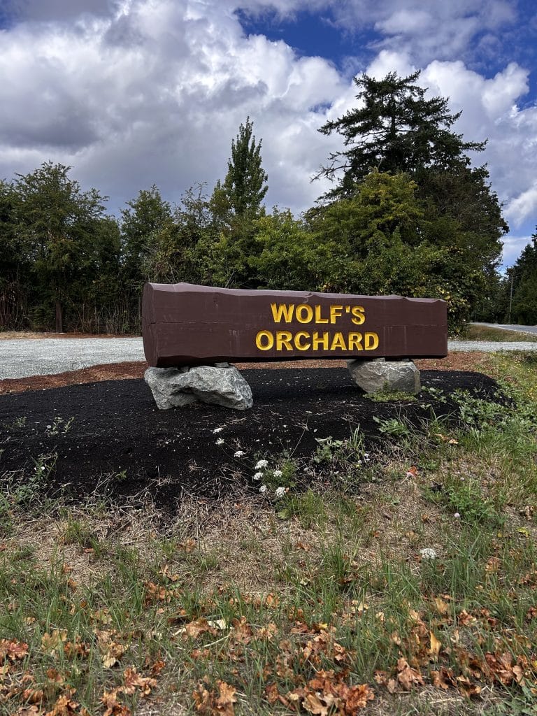
- Landmarks near start: Deep Cove School, Deep Cove Market, Wolf’s Orchard
- Map of my path on Gaia: click here for the online map with photos
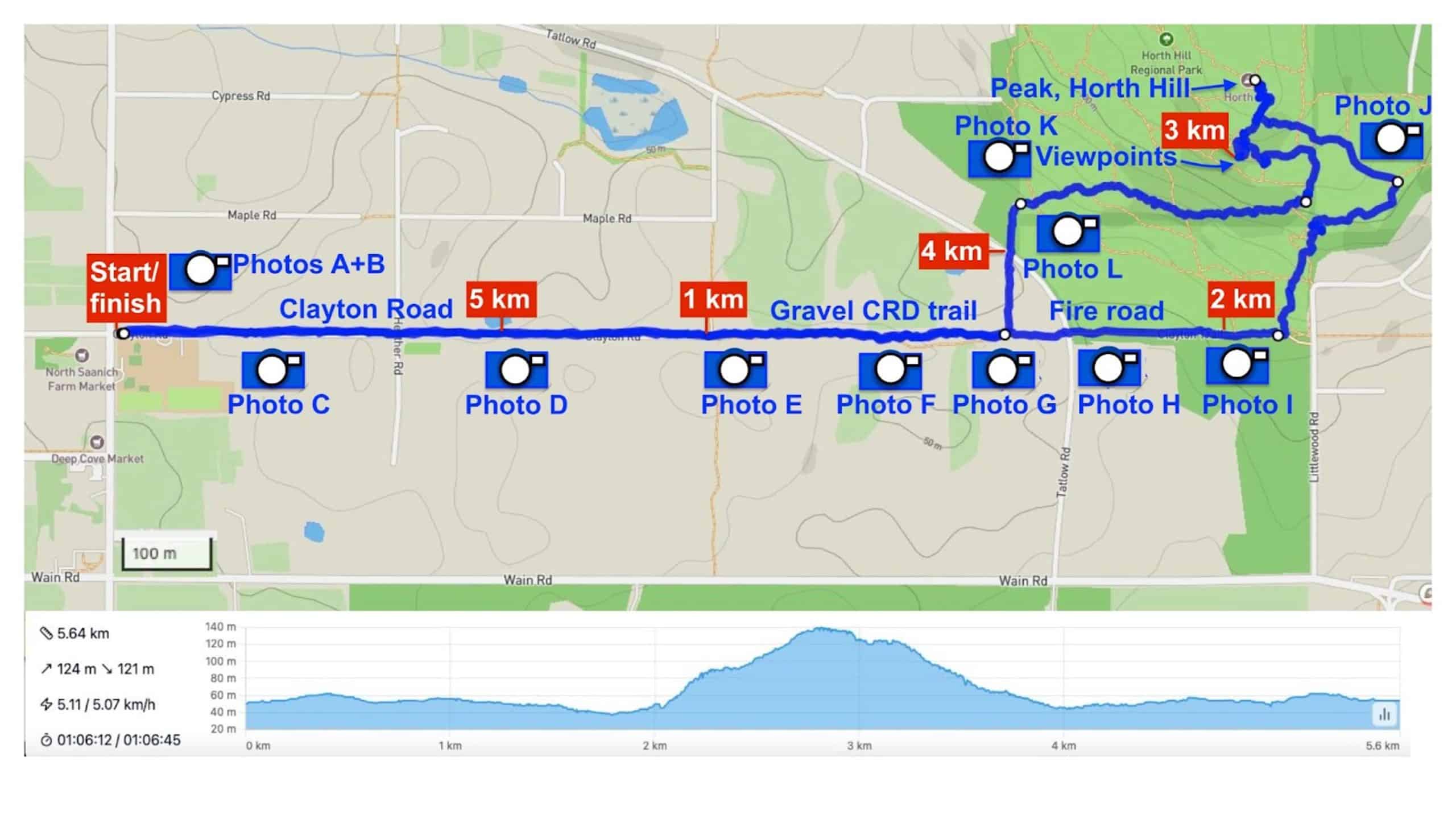
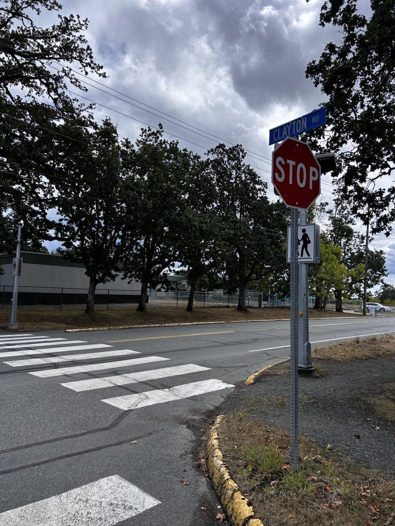
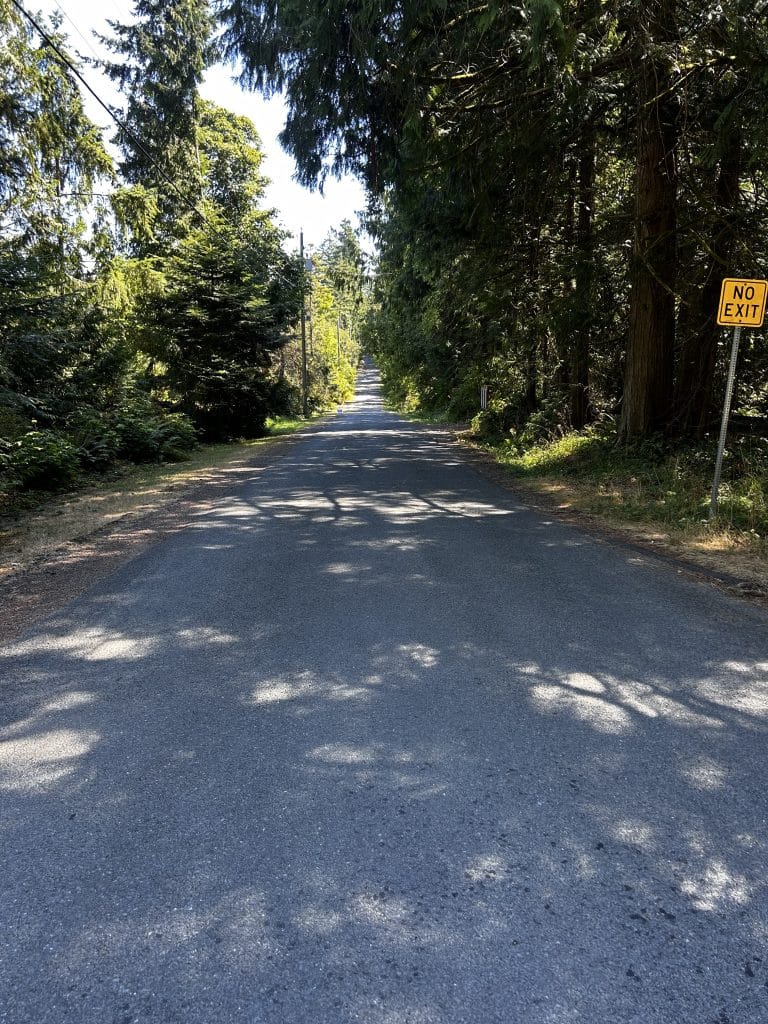
First km. With Deep Cove school to your right (south), start walking east down the quiet and shady Clayton Road (paved).
Look up at the many Garry oaks that line the first few hundred metres, indicating that this area had been a Garry oak meadow. As you move east, you will feel a subtle drop of elevation and notice the transition to western red cedars and Douglas firs, pointing to increased moisture in the ground. Look for the resident white waterfowl (not sure if they are ducks or geese) in the area. Photos shown were taken at points A, B, C, D on the map.
Accessibility: Good, paved.
Second km. As you approach the end of Clayton Road, you will see three gravel CRD trails going south, north, and continuing east. The CRD trail going east from Clayton Road is called Clayton Trail. Go straight on Clayton Trail where you will find yourself on a very shady packed gravel trail that meanders gently through the tall Douglas firs, western red cedars, and low Oregon grape and snowberry bushes. In the spring, you can see native trillium, vanilla leaf, and other shade-loving plants and flowers. 1.5 km from the start of this walk, you will encounter a branch of the gravel trail to your left (north) – keep going straight but know that you will come down this trail on your return.
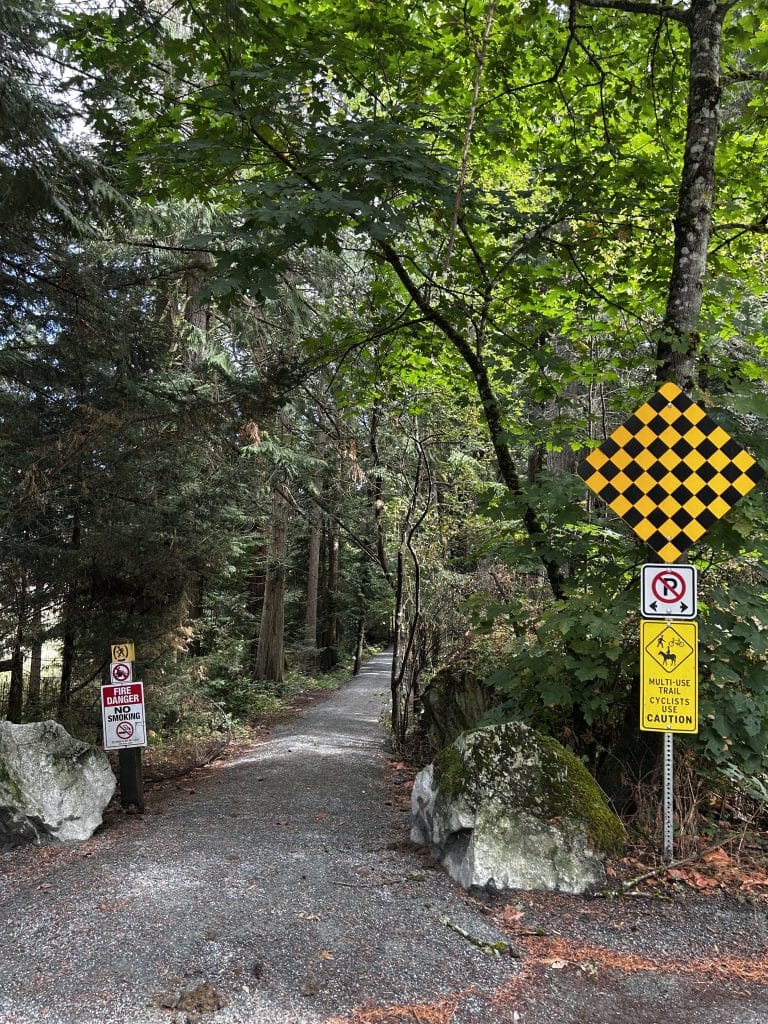
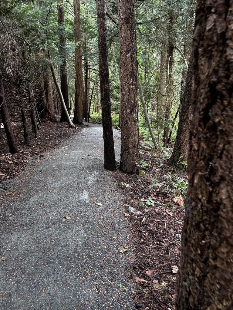
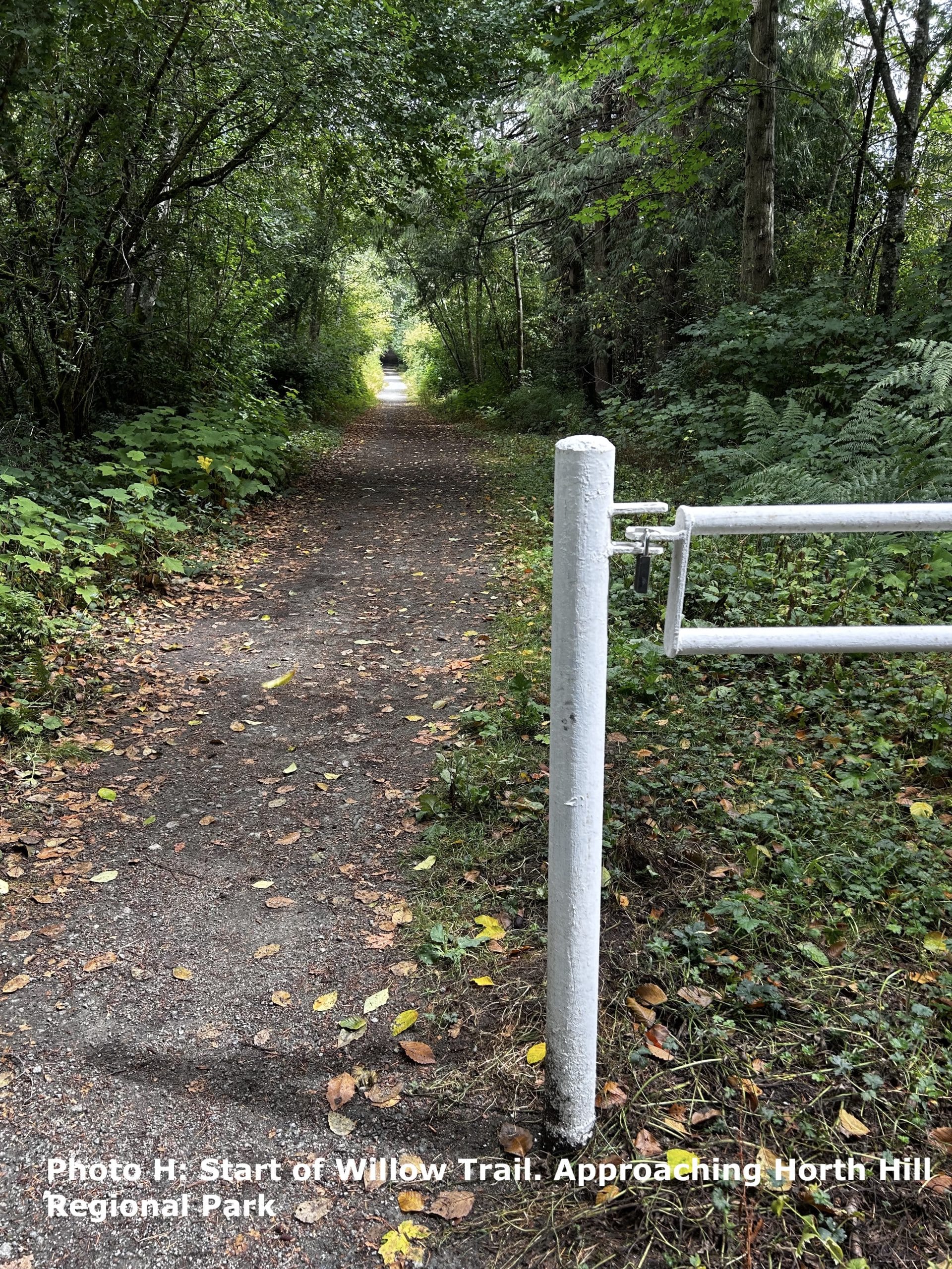
At 1.6 km from the start of the walk, you will encounter your first crossing of Tatlow Road. Be cautious and cross to the continuation of the CRD trail. At this point, you will pass by a white metal barrier and are on a wider shady trail called Willow Trail that intersects with the southern edge of Horth Hill Park; the trail leads to Littlewood Road and the Greenpark neighbourhood. Notice along the fire road that the ground is almost always moist, even in summer, due to the flow of water off the slopes of Horth Hill.
The plants on either side of Willow Trail reflect the wetness of this subtle local valley – native species that proliferate in wet soil, like red osier dogwood and Douglas spirea prevail, as well as the usual invasive Himalayan blackberry that also appreciates wet feet. Photos shown were taken at points E, F, G, H on the map.
Accessibility: Mixed. The surface from Clayton to Tatlow is packed fine gravel but the path is not perfectly straight. At the end of Clayton Trail, just before it meets Tatlow, there is a short descent towards the pedestrian crossing of Tatlow Road and so some may wish to stop and evaluate before proceeding or turning back. From Tatlow to Littlewood, Willow Trail is wide, flat packed gravel and is very accessible.
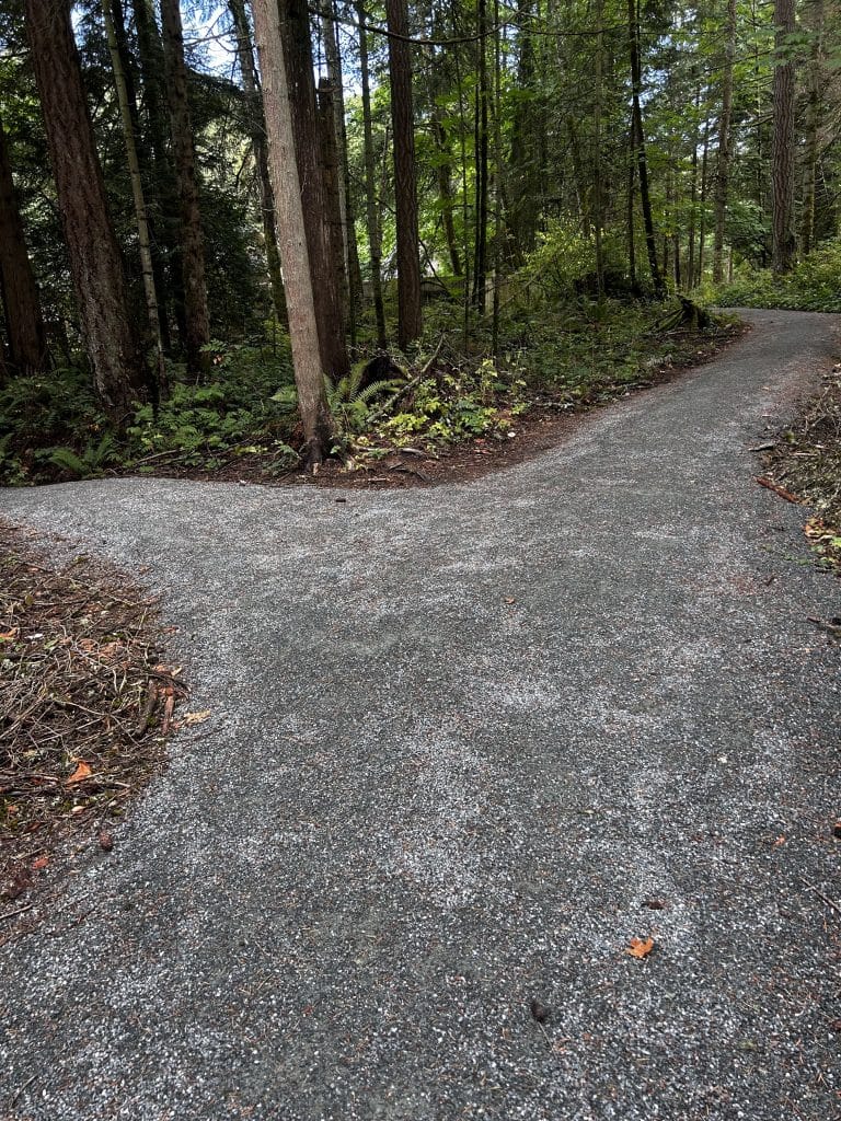
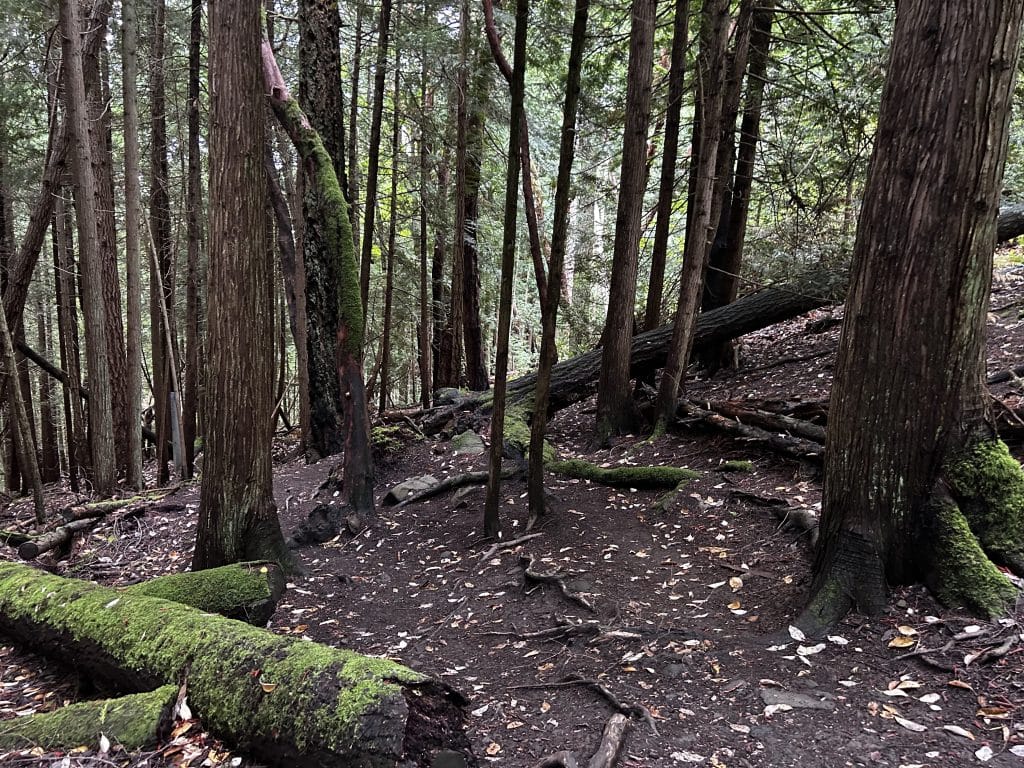
Third km. At the end of Willow Trail, you will find yourself at Littlewood Road and the Greenpark neighbourhood. You will see the trail to your left (north) – take it and begin your climb up into Horth Hill Regional Park. At this point, having a map will be very handy as there are many trails crisscrossing Horth Hill (link here to the official CRD map). There are also maps posted in a few places throughout the park – you want the Lookout Trail. You will head up and will take switchbacks on packed dirt and some stairs to several branch points of the trail.
Choose one and if you like, you can first visit the actual peak of Horth Hill, with an elevation of 143 m. On the route I chose, the peak is 2.7 km from the starting point. The peak itself is in the trees and has no real view, and so it’s worth heading down to 119 m elevation to check out the two lookouts.
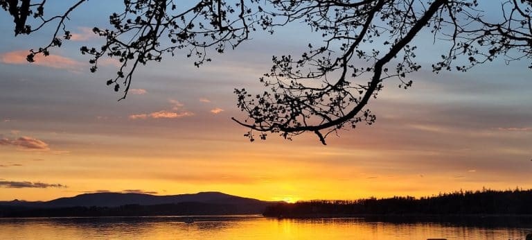
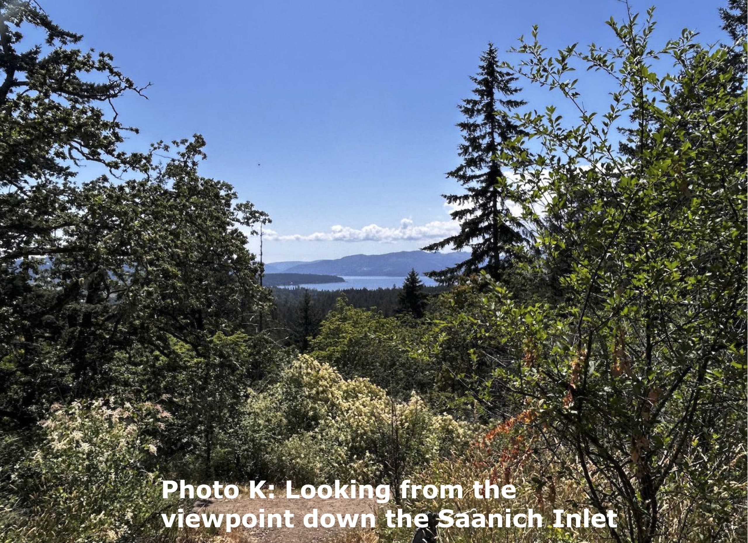
The more westerly lookout has this scenic view of the Saanich inlet, below, and sits in a beautiful Garry oak meadow with many arbutus trees towering over you. Visiting this Garry oak meadow in May is particularly special as you will observe many of the flowers that are the hallmark of this ecosystem, such as shooting stars, camas lilies, field chickweed, chocolate lilies, sea blush, and others. Please stay on the trails to not trample the fragile plants that are dormant in the soil, waiting for spring. Photos were taken at points J and K on the map.
Accessibility: Limited within much of Horth Hill Regional Park due to tree roots, and rocky uneven surfaces. Some of the paths from the parking lot are flatter and more packed, but not this particular route. Walking sticks might be useful.
Fourth km. Glance at a map and choose a route through the trees to the official parking lot of Horth Hill Regional Park.
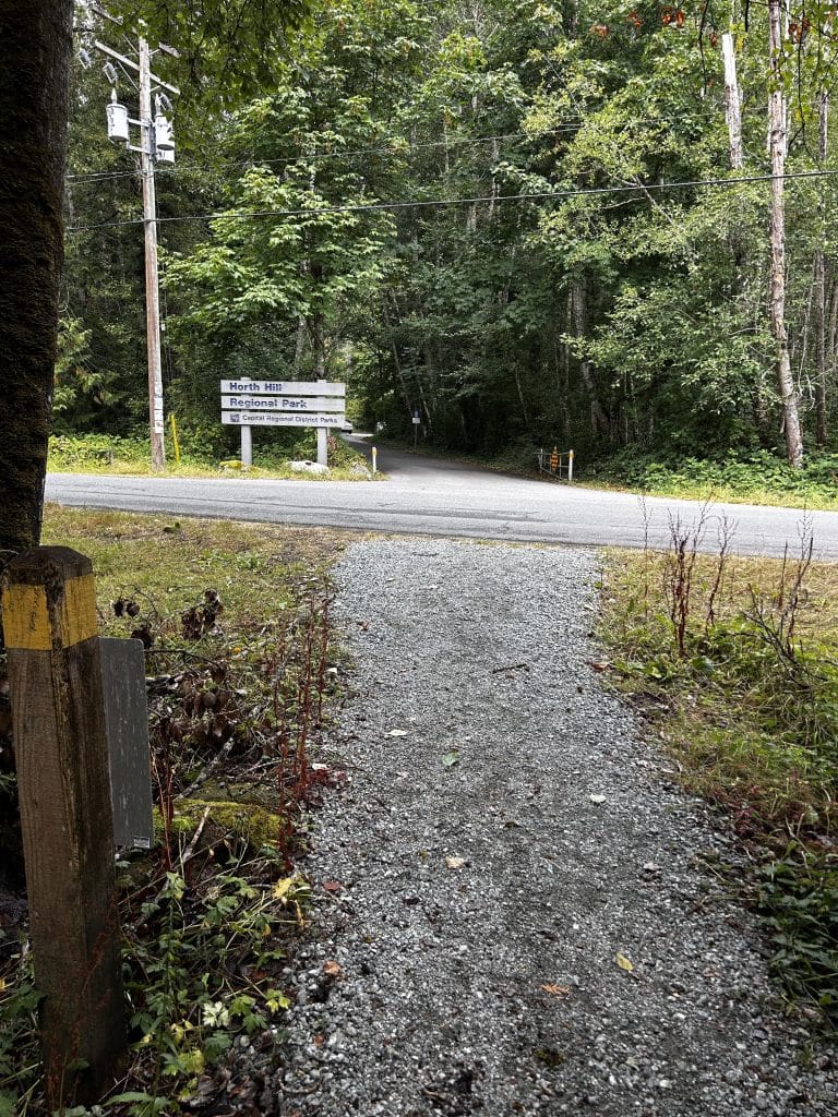
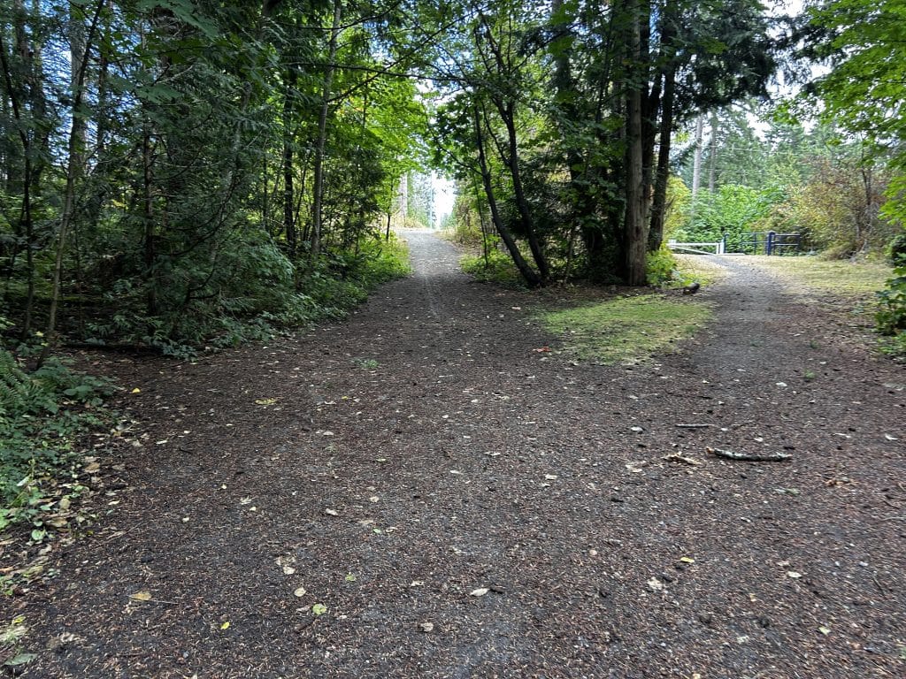
Enjoy the solitude of the Douglas fir ecosystem, and observe the accompanying oceanspray, low Oregon grape, and the elderberry, salmonberry, and flowering red currant bushes here and there. Once in the parking lot, walk south to Tatlow Road and cross carefully to the CRD trail on the other side. The photo below is taken from the gravel CRD trail, looking north across Tatlow Road to the sign for Horth Hill Regional Park and the parking lot. Walk south 150 m and you will see that you have merged with the path you took before, Clayton Trail.
Accessibility: Limited until one reaches the parking lot of Horth Hill Regional Park. Same as third km, above.
Fifth and sixth km. Turn right (west) on the gravel trail and walk back the way you came to the start/end point. I hope you enjoyed your trip!
Accessibility: Same as kms 1 and 2, above.
Names of some of the native plants and places mentioned
here in SENĆOŦEN, in order of appearance. For help with pronunciation, click here.
SW̱EMW̱EMEN: Deep Cove
ĆEṈ¸IȽĆ: Garry Oak (Quercus garryana)
XPȺ¸:Western red cedar (Thuja plicata)
JSȺ¸IȽĆ: Douglas fir (Pseudotsuga menziesii)
SENI¸IȽĆ: Oregon grape (Mahonia nervosa)
PEPKIYOS IȽĆ: Snowberry (Symphoricarpos alba)
NEȻIM SX̱EL,LELĆ: Red osier dogwood (Cornus sericea)
DIȾEȽIȽĆ: Douglas spirea (hardhack, Spiraea
douglasii)ḰEḰEYIȽĆ: Arbutus (Arbutus menziesii)
ḰȽO¸EL: Camas (Camassia quamash)
KÁȾEȽĆ: Oceanspray (Holodiscus discolor)
ȾIWEKIȽĆ: Red elderberry (Sambucus racemosa)
ELILE¸IȽĆ: Salmonberry (Rubus spectabilis)
W̱IW̱Q,IȽĆ: Red flowering currant (Ribes sanguineum)