North Saanich on Foot (NSoF): 4.2 km Loop of Shoreline, Country Roads, Farm Stand, Boats, Planes, and Traces of Old Trains*
*and bonus coffee & baked goods, cows, & goats!
by Jillian Buriak
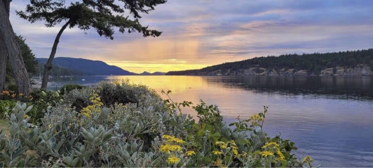
This walk has it all. As the title suggests, this loop offers a taste of just about everything that makes North Saanich special. In just over 4 km, you can view many iconic jewels of land and sea including beautiful views of Patricia Bay, two peaceful country roads with a farm stand, watching kids having a great time at the North Saanich Free Ride Park and Jubilee Park, and walking a portion of the airport Flight Path. Bonus features include a short jaunt to the Fickle Fig on Mills Road, and a nearby CRD trail that borders a blueberry field and an active cattle farm, in case you have little ones that want to see cows up close. Moo!
What you need to know:
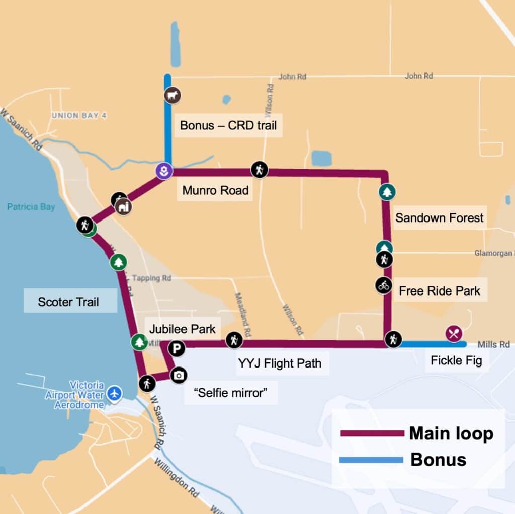
Route: There are several places you can start as there are three public parking lots along the route that are marked on the map, above. This description of the route starts at the parking lot of Jubilee Park, the playground park at the northwest corner of the airport Flight Path, but since it’s a loop, you can start and end wherever you choose. A bus stop and bike rack are located nearby.
Distance: 4.2 km, but some bonus extensions are described below if you would like to add some distance to see cows, and/or visit the Fickle Fig.
Map (link here) showing the 4.2 km GPS trace of the path on a Google MyMap, with photos. The map can be viewed on your phone and enables you to check your position relative to the route as you walk. No special software is required.
Accessibility: Accessibility of this route is generally good. The YYJ airport loop, called the Flight Path, is paved and separated from the road, and the gravel trail along Patricia Bay is wide and packed flat. The two country roads are asphalt but do not have sidewalks; they are, however, very quiet with little traffic. Care is required crossing the marked pedestrian crosswalks at Mills Road and West Saanich Road. The most challenging part of the loop for wheels or walkers is the north-south dirt trail through Littlewood Forest as there are occasional roots and rocks.
Description of the route
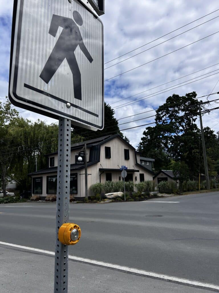
Start. We began our walk at the northwest corner of the YYJ airport lands, Jubilee Park, which comprises a unique playground and covered picnic ground, parking lot, a nearby bus stop, and a bike rack. From there, we headed west towards West Saanich Road and Patricia Bay. Be sure to take a selfie at the convex traffic mirror at the bend in the trail! Continue a little further to the pedestrian crosswalk with flashing lights at West Saanich Road – cross with caution and then look to your right to the path that heads north.
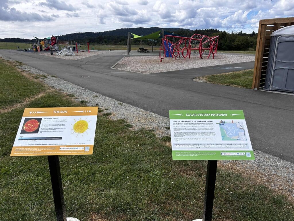
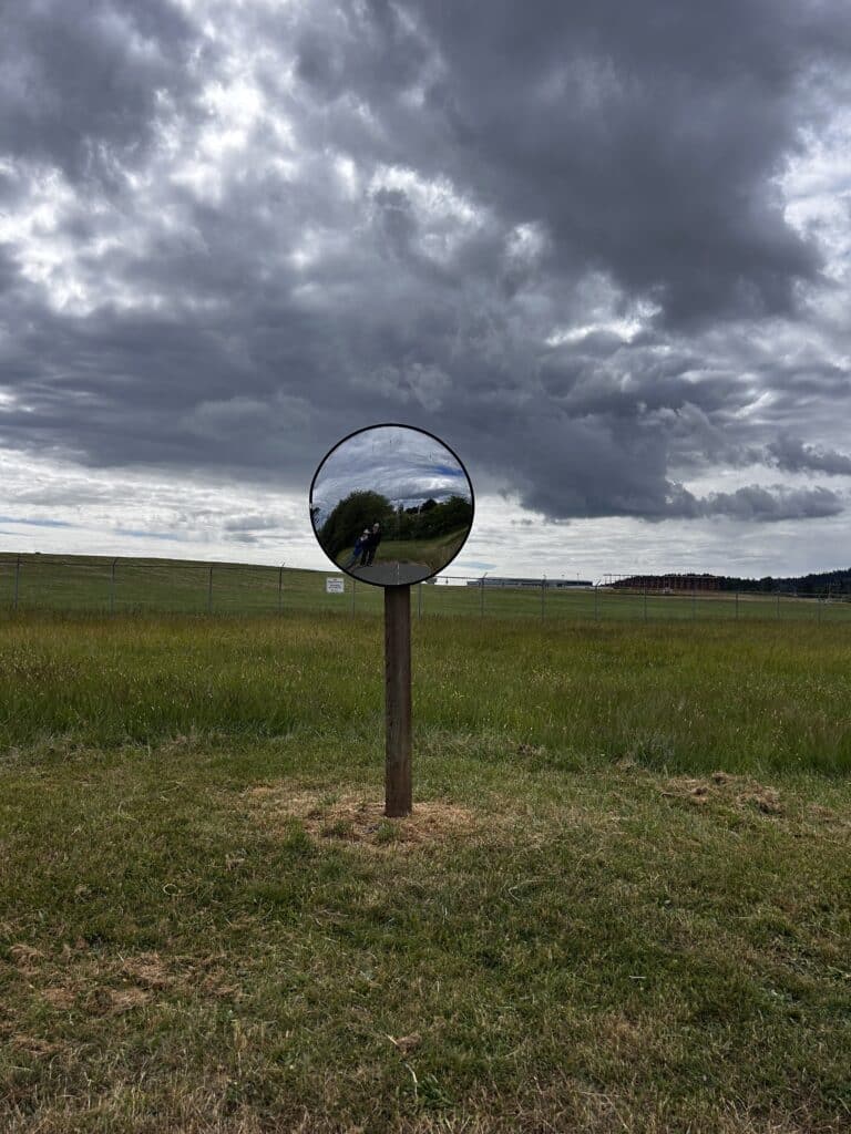
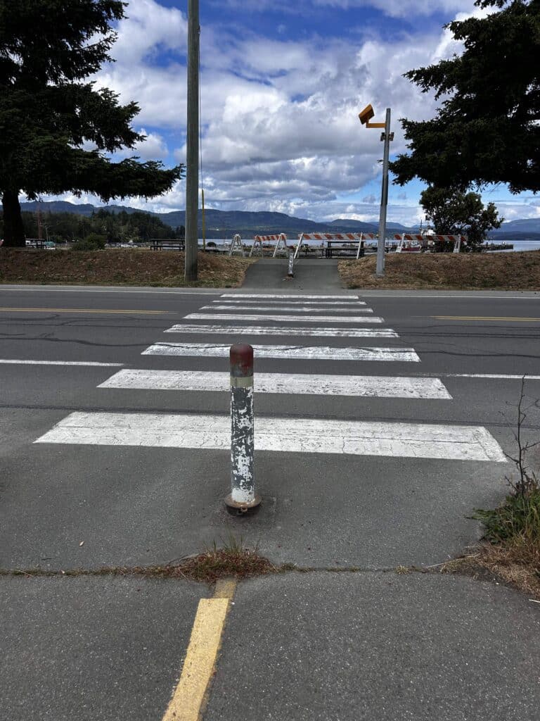
Photos of the trail at Jubilee Park, the convex “selfie mirror” on the Flight Path, and the crossing of West Saanich Road from the Flight Path to the Patricia Bay Park.
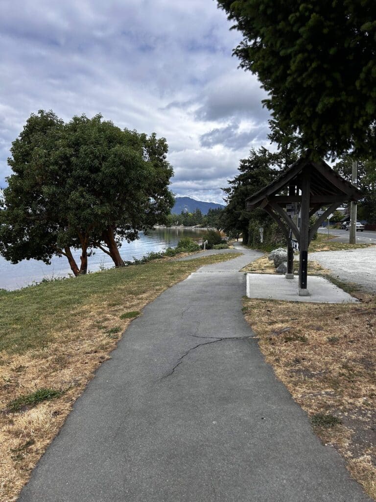
Trail at Patricia Bay, the Scoter Trail. Take the path north along the beautiful Scoter Trail, just up above the high tide line, looking west towards the Saanich Inlet and the Malahat on the other side. The path turns to packed gravel, and you will venture underneath Garry oaks and arbutus trees and enjoy the views of the bay. At the 1 km mark of your walk, you will reach fork in the trail (see photo). Take the right fork to the pedestrian crossing with flashing lights at the intersection of West Saanich Road and Munro Road. Cross carefully and head east along Munro Road.
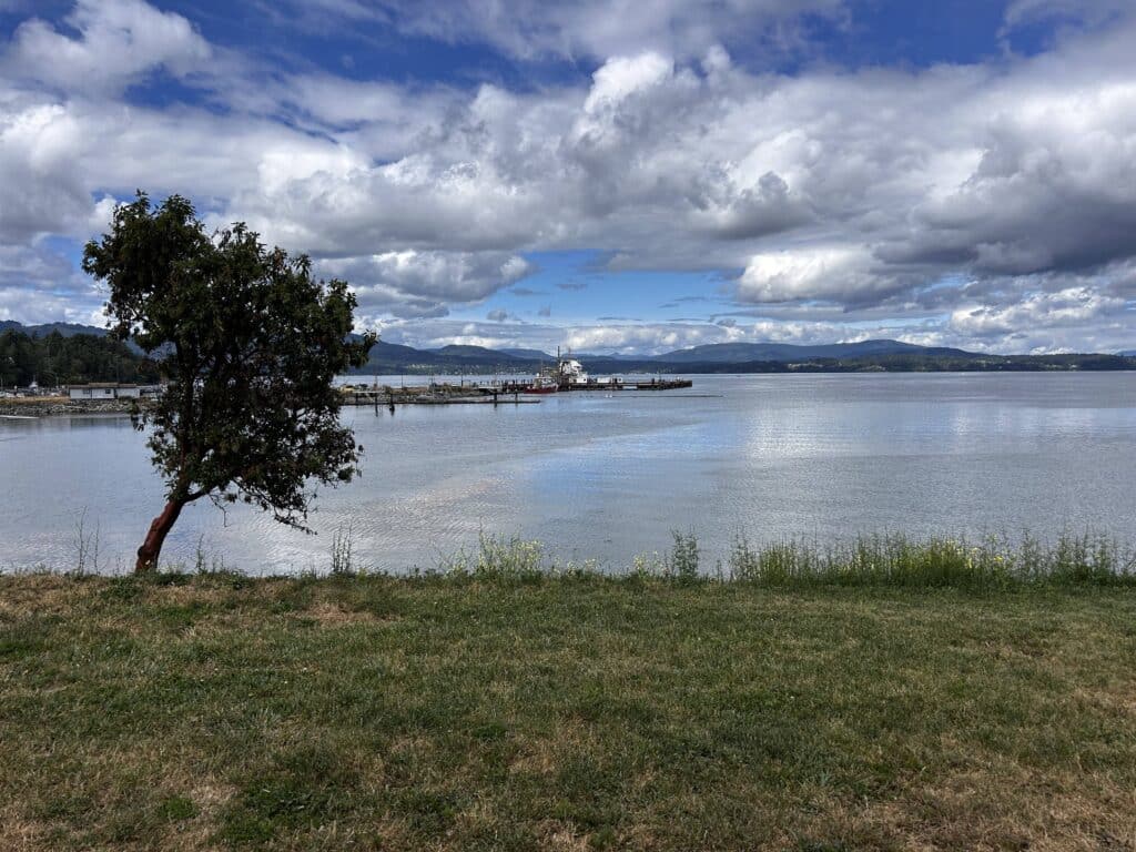
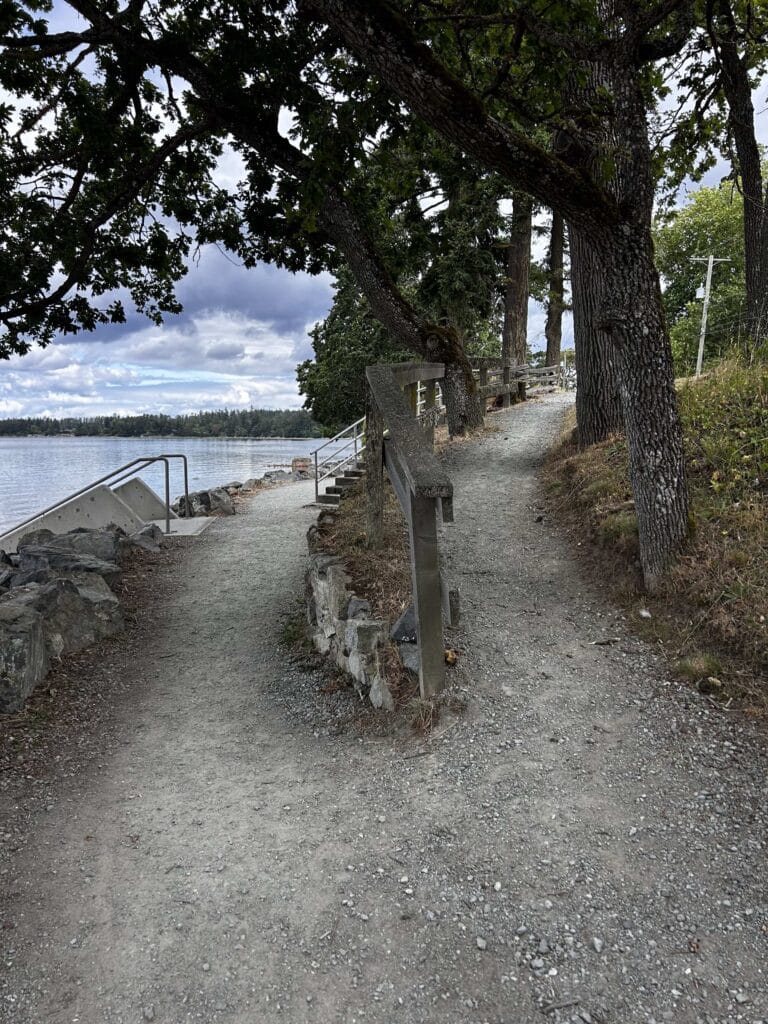
Views from Patricia Bay Park and the Scoter Trail (heading north, parallel to the shoreline).
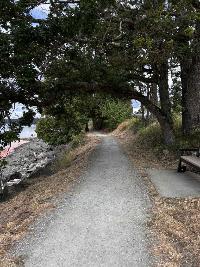
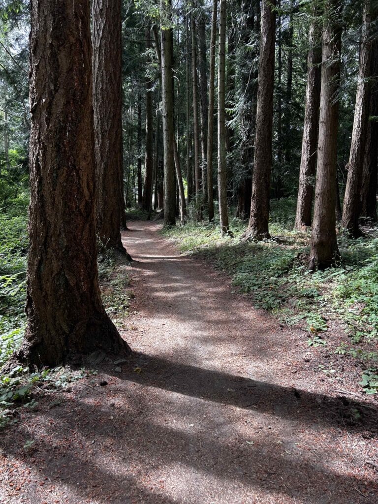
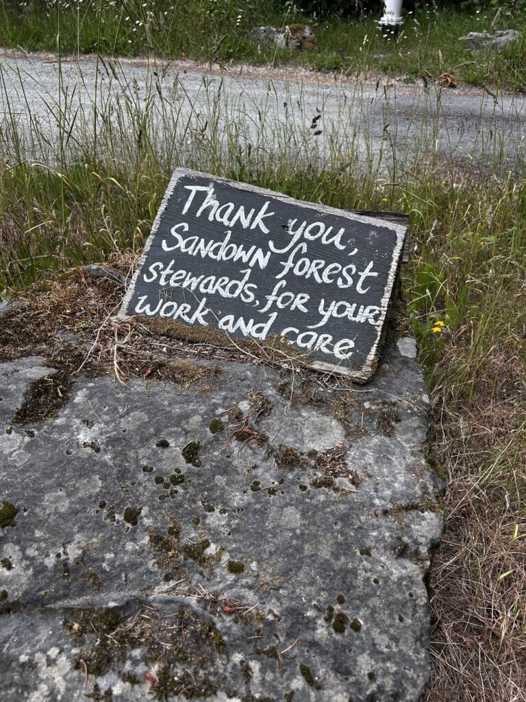
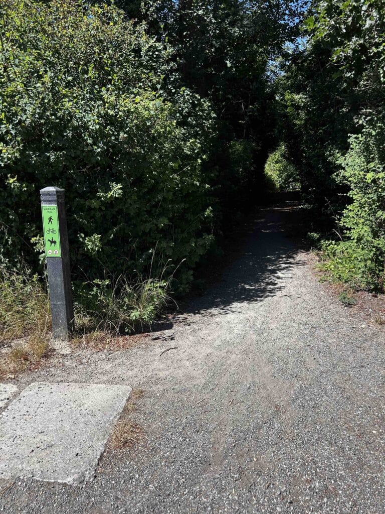
Munro Road. After crossing West Saanich Road, it almost feels like you have suddenly been transported to a completely different environment, a lovely tranquil country road with fields of flowers, and the Fern and Oak farm stand on your right selling eggs and produce. Continue to head east for 1.5 km, and at the dead end of Munro Road, you will see the CRD marker for a shady 400-metre trail that heads south, through the Sandown Forest.
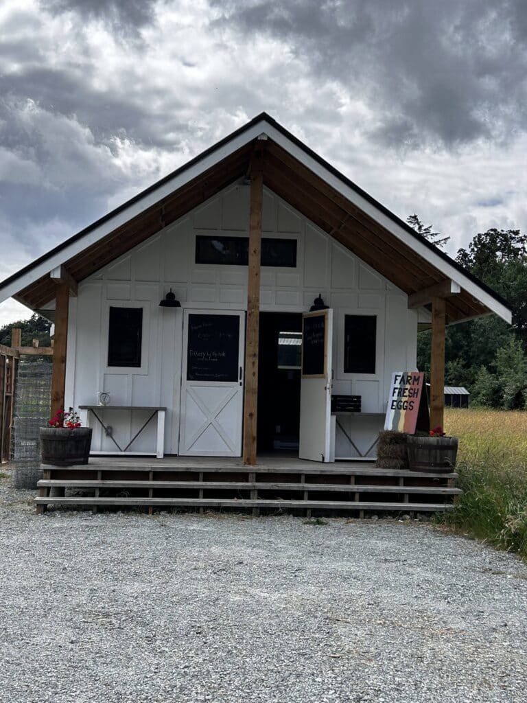
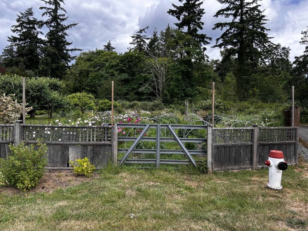
Images of the pedestrian crossing of West Saanich Road to Munro Road, the beautiful flower garden on the north (left) side of Munro, and the Fox and Fern farm stand on the south (right) side of Munro.
When you arrive at the intersection of Munro and Wilson, stop for a second and look to the south. There was once a railroad spur right here that was used by the BC Electric Railroad (BCER). Read more about this railroad in Edward Lesage’s Part 2 of the BCER, here in this issue. Part 1 is in the spring issue.
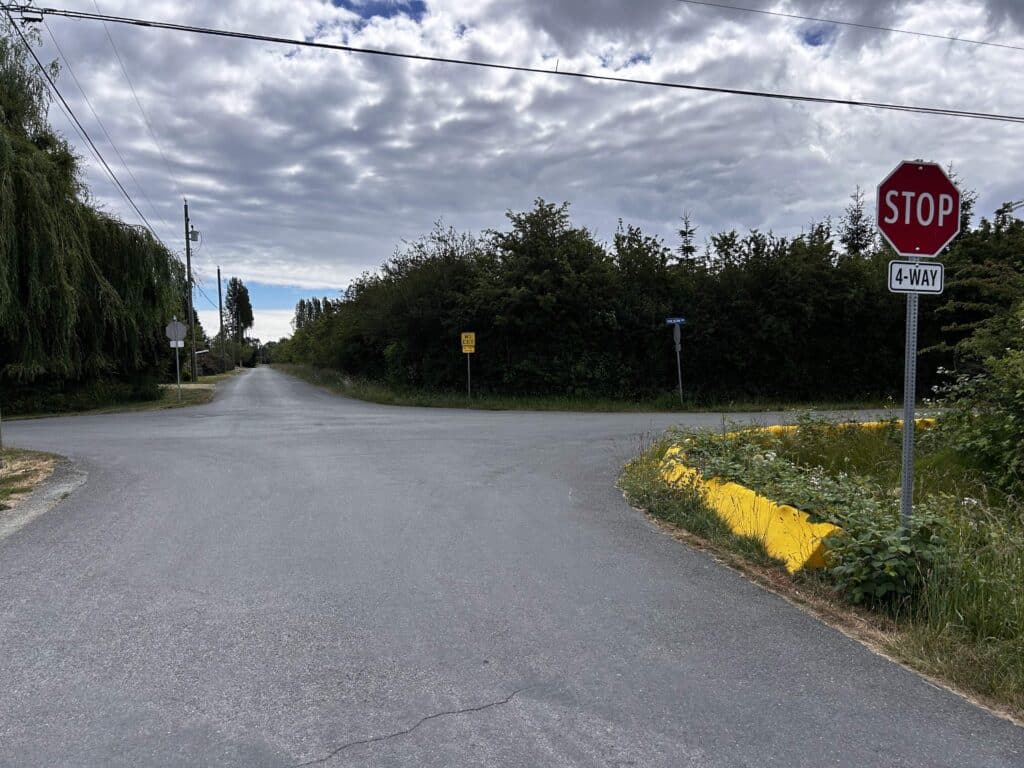
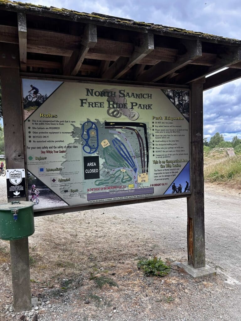
Sandown Forest and Littlewood Road. The trail through Sandown Forest ends at the juncture of Littlewood Road and Glamorgan Road. Head south along Littlewood (towards the airport), and enjoy watching kids having a great time biking fast and doing jumps North Saanich Free Ride Park on your right. You will reach the intersection with Mills Road, which has a pedestrian crossing and flashing lights. Cross carefully and join the airport Flight Path.
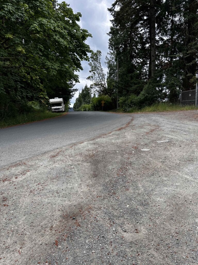
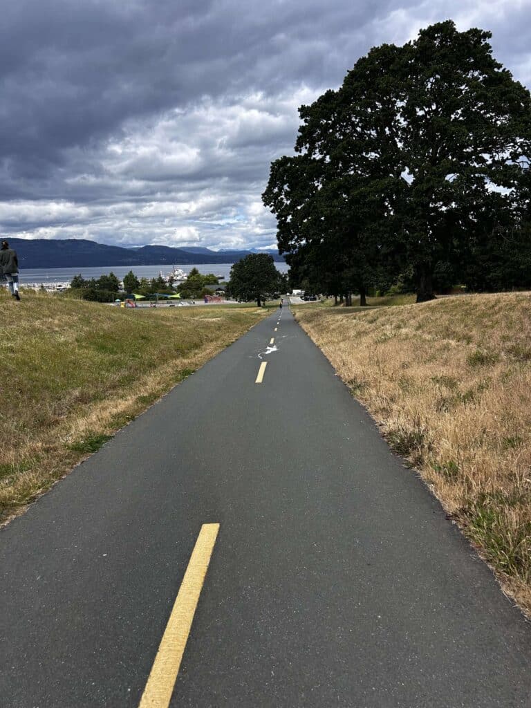
Airport Flight Path. Turn right (west) back towards Patricia Bay, and enjoy a nice downhill walk back to your starting point with views towards the water and the mountains on the Malahat side of the inlet.
Two Bonus features (blue trails on map, above)
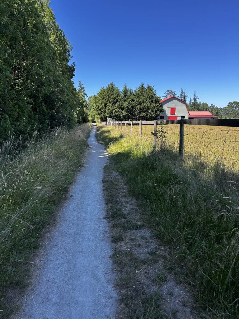
1. CRD trail next to cow pasture. There is a CRD trail off of Munro Road that connects to Wilson Road to the north. It passes to the west of a farm that often has cows grazing in the pasture.
2. Fickle Fig. Where Littlewood Road intersects with Mills Road, you are not far from the famous Fickle Fig. Cross the road at the pedestrian crossing and take the Flight Path east. You will see it on the north side of Mills Road.
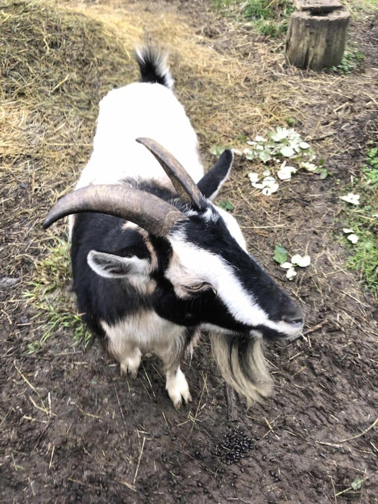
Because there is no pedestrian crosswalk at this spot, take your time crossing Mills Road from the driveway just the east of Fig. There is outdoor seating year round where you can sit and relax in their farm garden in the back, and look up at the nearby Garry oaks. The Fickle Fig is also the home of two Nigerian dwarf goats named Nutmeg and Cashew (not sure which of the two goats this one is). Enjoy your time at the Fig!