North Saanich on Foot: Ardmore Beach (and Trails) Extravaganza
by Jillian Buriak and Kym Tribe
This winter issue’s route takes you on a beaches-and-trails walk through the Ardmore neighbourhood of North Saanich. In our fall 2025 issue, we took an inland route through the middle of the peninsula and ended at a viewpoint of the Saanich Inlet from a Garry oak meadow on Horth Hill. This time, it’s truly a beach extravaganza, with 7 unique beaches, plenty of forested trails, and the quietest roads in North Saanich. The walk is 8.5 km, but we also provide a 4.9 km variation that visits 4 beaches.
What you need to know:
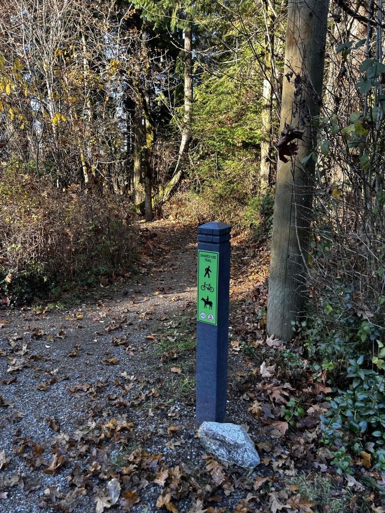
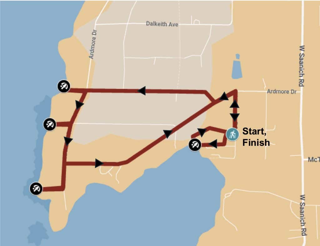
Route: The route starts and ends at the parking lot of Coles Bay Regional Park, and takes you north through the centre of Ardmore via a lovely treed trail system. When you reach the most northerly part of your journey, you arrive at your first beach and turn south along Ardmore Road, stopping by 5 more beaches before you turn back east towards Coles Bay Park. The walk ends with a short exploration of Coles Bay Regional park. This route is certainly cyclable, with the exception of the trails of Coles Bay (where there is a bike rack in the parking lot at which you can lock your bike and walk the trails to the beach).
Distance: 8.5 km. Time = 2 to 2.5 hours of active walking, with time to enjoy the sights
Parking (vehicles and bicycles) at start: The large Coles Bay Regional Park parking lot
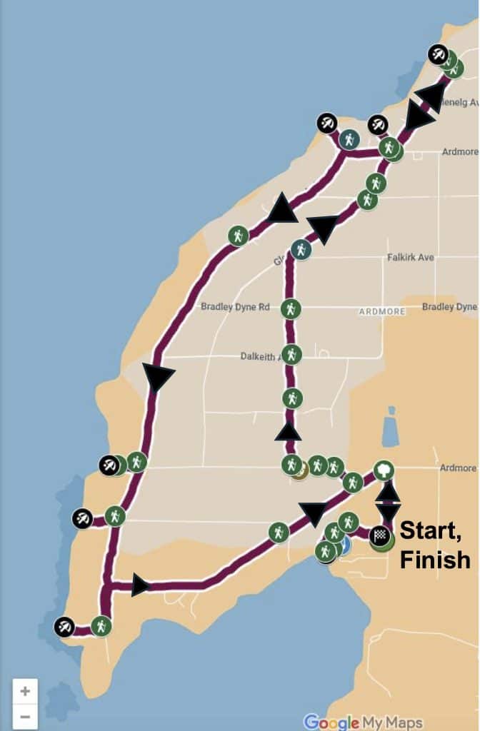
Map showing the 8.5 km GPS trace of the path, with 32+ photos, can be viewed on your phone or computer on a MyMap, which does not require any specific app or software: Link to the map here, or click on the image of the map below. You can check your own position relative to the GPS trace on your phone as you walk the route.
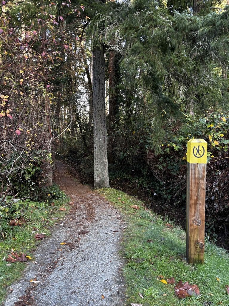
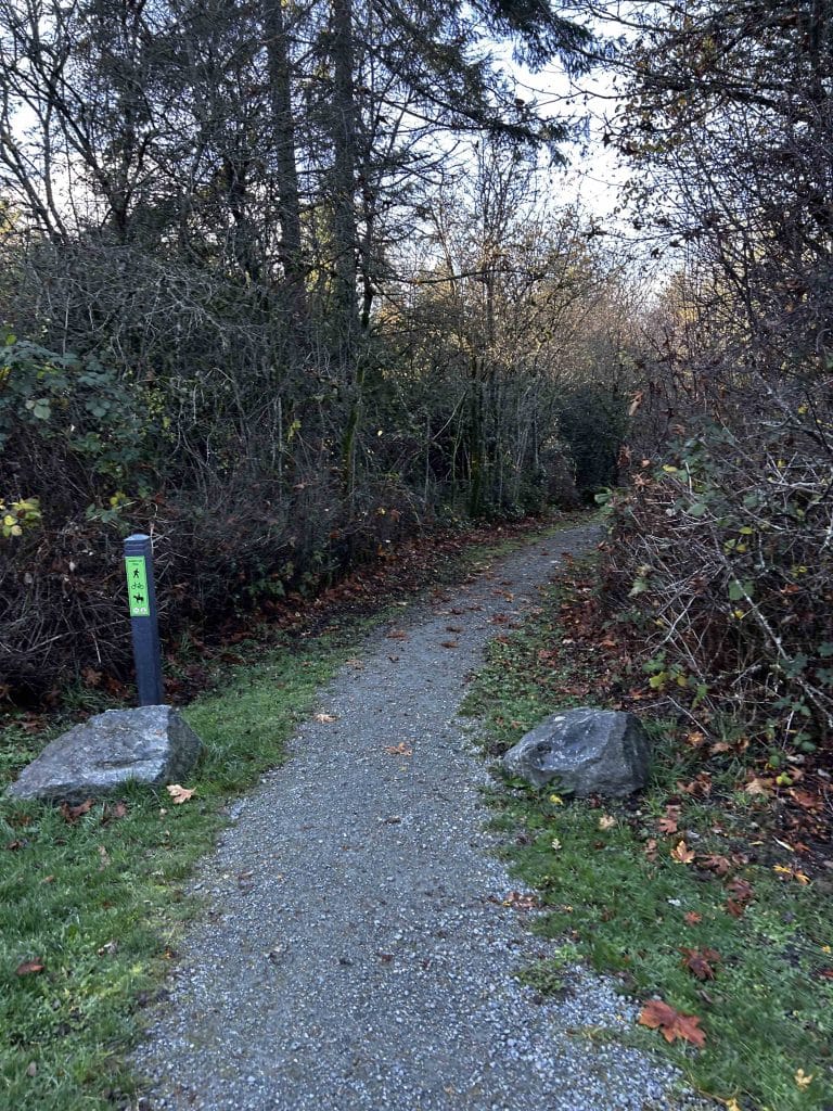
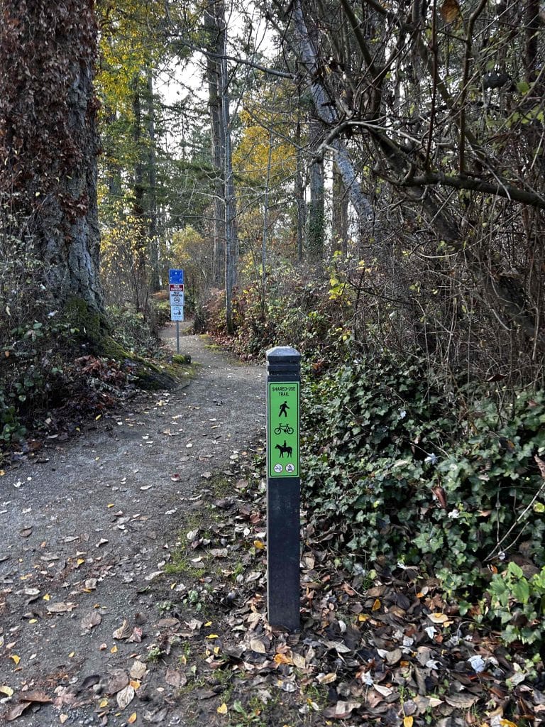
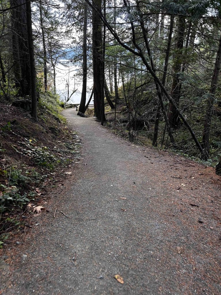
Accessibility: Packed trails that are often narrow and sometimes steep in places, quiet roads. The only beach access without stairs is Beach 1, Briarwood Beach, described below.
Description of the Route. Starting from the parking lot of Coles Bay Regional parking lot (map location here on Google Maps), head north on Inverness Road 250 metres until you reach Ardmore Drive. Turn left/west onto Ardmore Drive and walk 140 m at which point you will see a trail on your right.
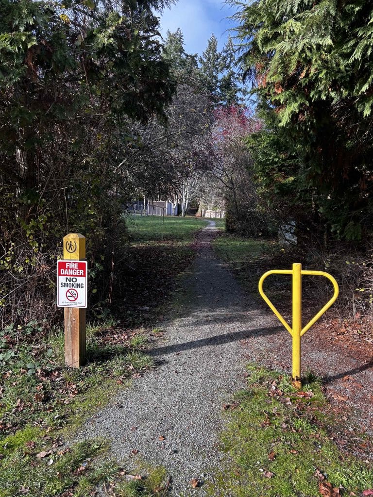
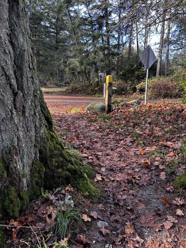
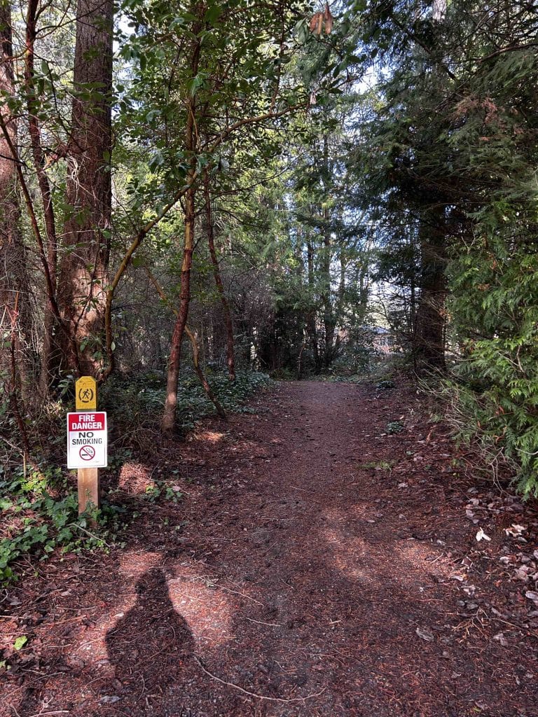
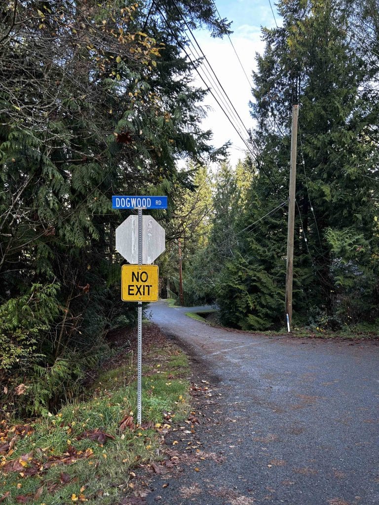
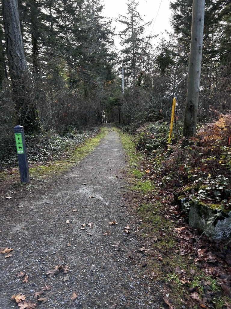
This trail connects you with Braemar Avenue travelling west, and after 150 m on Braemar, you will see a trail on your right that heads due north through the spine of the Ardmore neighbourhood. This trail is half a kilometre through the trees, and has three road crossings (caution please!), after which you reach Glenelg Avenue and Falkirk Avenue. It’s a lovely straight stretch through the trees and along a leaf-littered packed trail. Pick up Glenelg Avenue and after 350 m along Glenelg you will intersect with Dogwood Road.
Continue on Glenelg to the dead end where you will see a trail, which then leads you on an interesting winding path that descends to Glenelg Avenue again.
Glenelg Road continues straight in a northerly direction for 220 m but then takes an abrupt turn to the east (your right). Continue straight towards the northeast on what is now called Glynnwood Park Road – you are almost at your first beach.
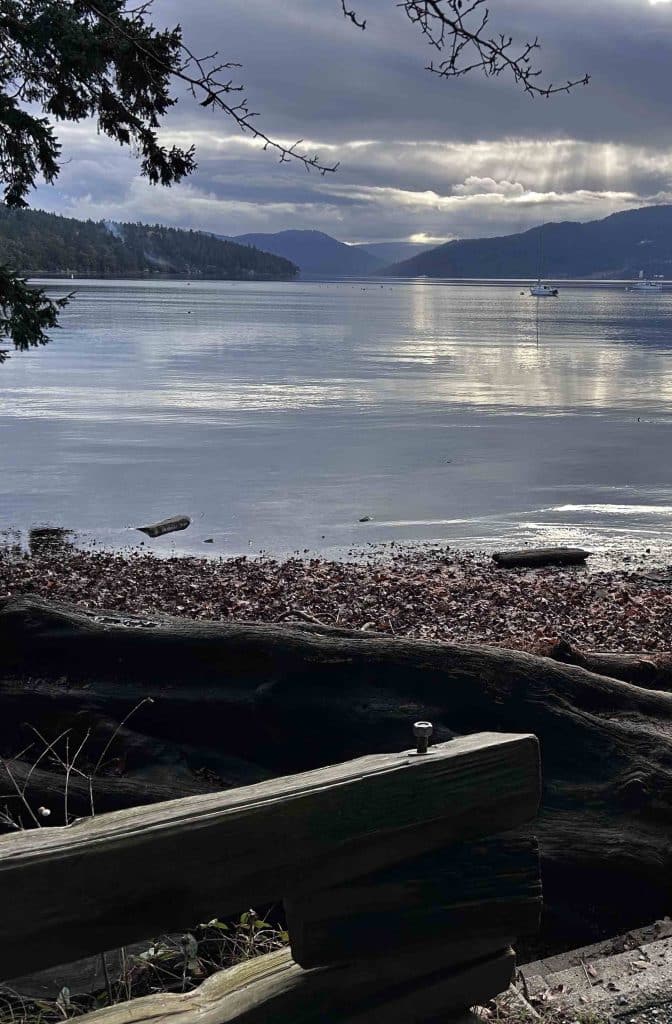
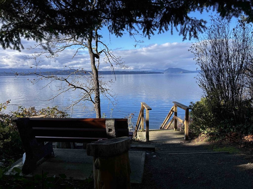
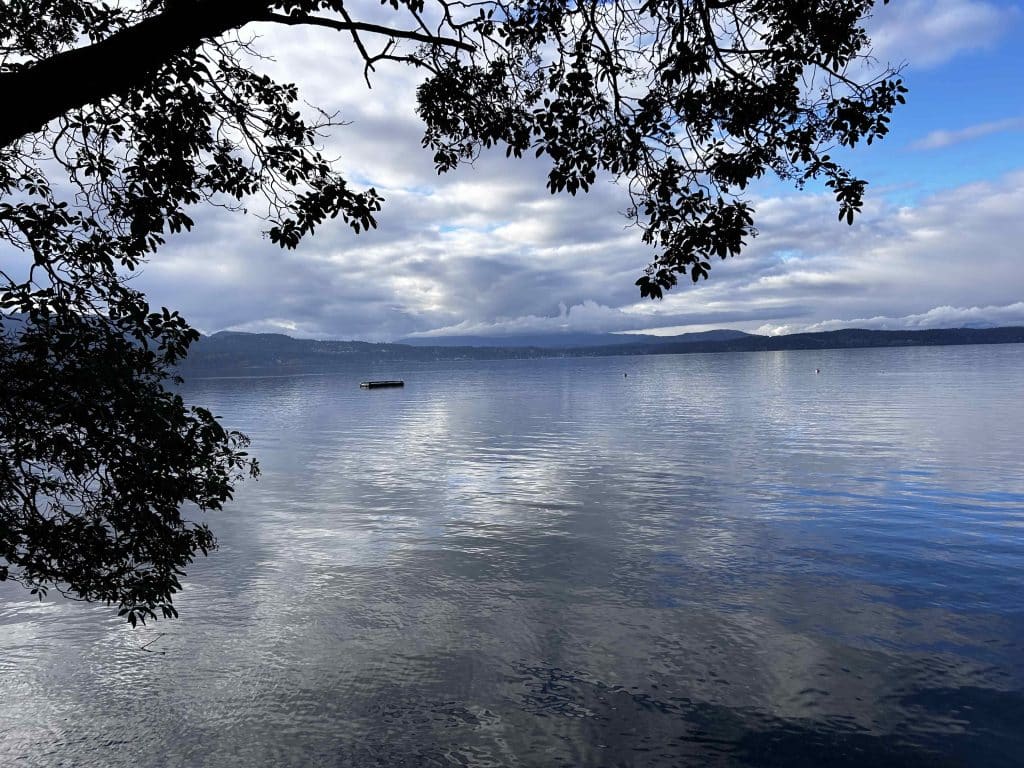
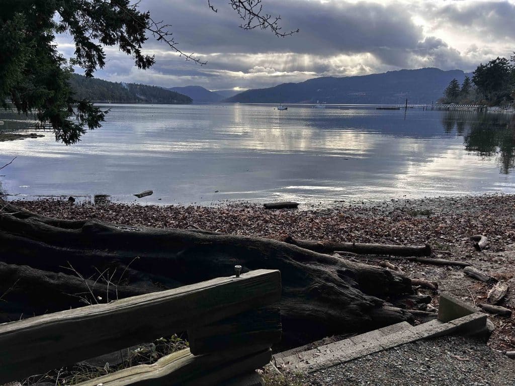
Beach 1 – Briarwood Beach. It’s only 150 m along Glynwood Park Road that you reach your most northerly stop and first beach, Briarwood Beach, 50 m down Briarwood Place on your left. This beach is the most accessible of all the 7 beaches on our journey as it has no flight of stairs. The views look up into Cowichan Bay and across to the Malahat. To proceed on your walk, head back up the path to Glynnwood Park Road, turn right (southwest direction) to retrace your steps. Keep walking straight as the road changes names to Glenelg Avenue to the next beach access, labelled as Ardmore Beach Access.
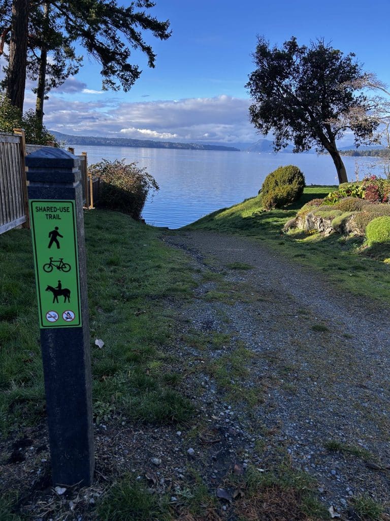
Beach 2 – Ardmore Beach. This is connected to the corner of Glenelg and Ardmore by a very pleasant treed trail. The trail leads you to an overlook with a bench, and then stairs to the beach. To continue to beach 3, off of Glenelg turn right (west) onto Ardmore Drive and walk 175 metres to the next beach access.
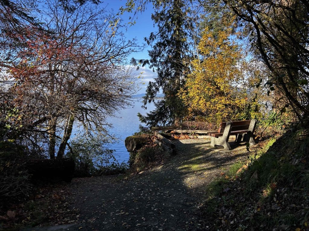
Beach 3 – Bayview Beach. Bayview Beach is close to beach 2, Ardmore Beach, and also has a nice bench overlook close to the wooden stairs down to the gravel beach. To reach the next beach, walk back to Ardmore Drive and continue southwest for 1.5 km to the next trail on your right.
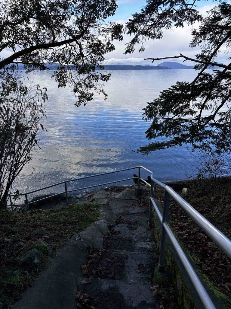
Beach 4 – Sunset Beach. Walking down Ardmore Road from beach 3, you will see a cross road, Braemar Road going east-west. 100 m to your right down Braemar, you will see a no parking sign and the bannister to the stairs shown below. Those stairs lead you to Sunset Beach. When you are ready to move on, retrace your path 100 m to the east on Braemar, and continue south 150 m on Ardmore Drive to the next trail entrance.
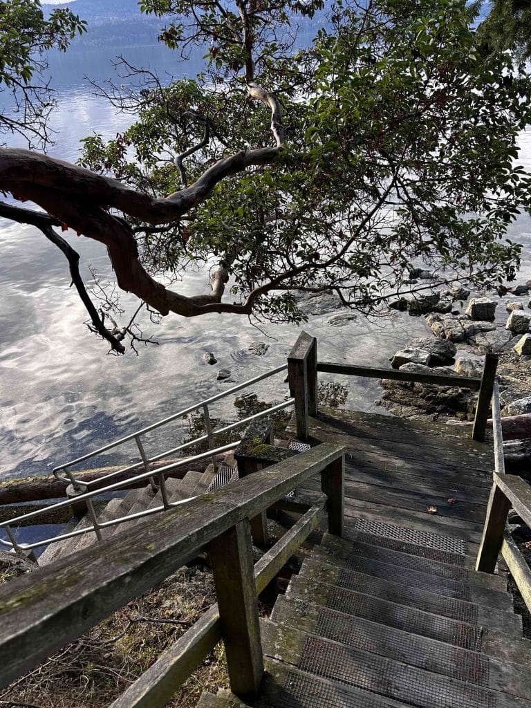
Beach 5 – Aboyne Beach. From Ardmore Drive, you will see the green sign for the trail heading west to Aboyne Beach. The treed trail is 130 m long, and arrives a set of wooden stairs to a beach with a beautiful arbutus tree overhead. To reach your next beach, the last one on the westernmost side of Ardmore facing west, head back to Ardmore Drive and head south one last time 415 metres to the Yarrow Beach trail entrance.
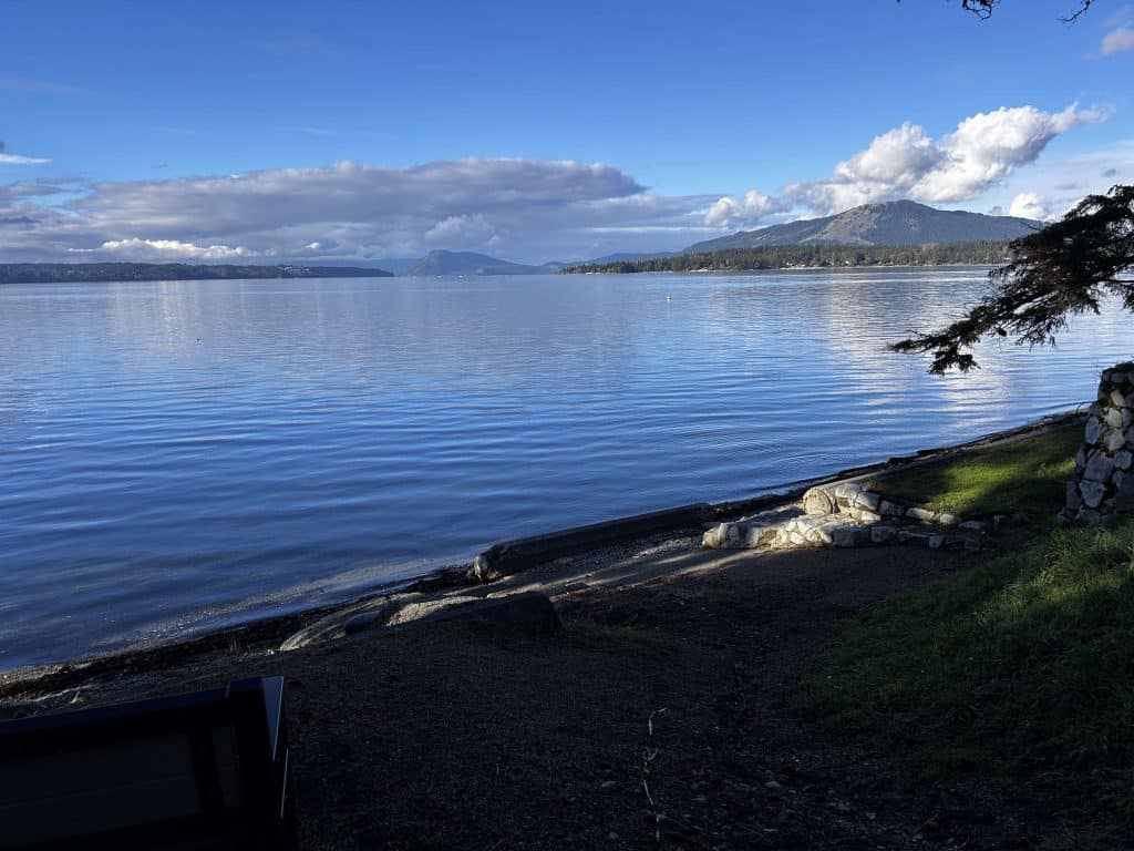
Beach 6 – Yarrow Beach. The Yarrow Beach entrance is on the right side of Ardmore Drive, and is 150 m west. A nice trail takes you to a flat beach that is walkable even at high tide. From Yarrow Beach, continue back to Ardmore Drive, but this time, head back north 150 m to the intersection of Ardmore Drive and Ardmore Drive (not a typo), and take your right (east) back to where you started at Coles Bay Regional Park.

Beach 7 – Coles Bay Regional Park. Now that you are back on Ardmore Drive, walk back to the parking lot of Coles Bay Regional Park, turning south onto Inverness Road. You can stop here (your total distance would be about 8 km), but Coles Bay Regional is worth seeing. Take the main trail down to the beach (about 280 m) and enjoy the sandy shoreline. From there, you can walk up the nature walk from the beach up the wooden stairs. Follow the nature path back to the parking lot (~350 m) to finish your excellent walk through Ardmore!
4.9 km Variation
8.5 km is not for everyone! Here is a 4.9 km variation that visits 4 beaches, and also starts at the Coles Bay Regional Park.
Link to map is here, but you can also click on the image of the map to the right. Enjoy!