North Saanich on Foot: Tour de Curteis Point
by Jillian Buriak
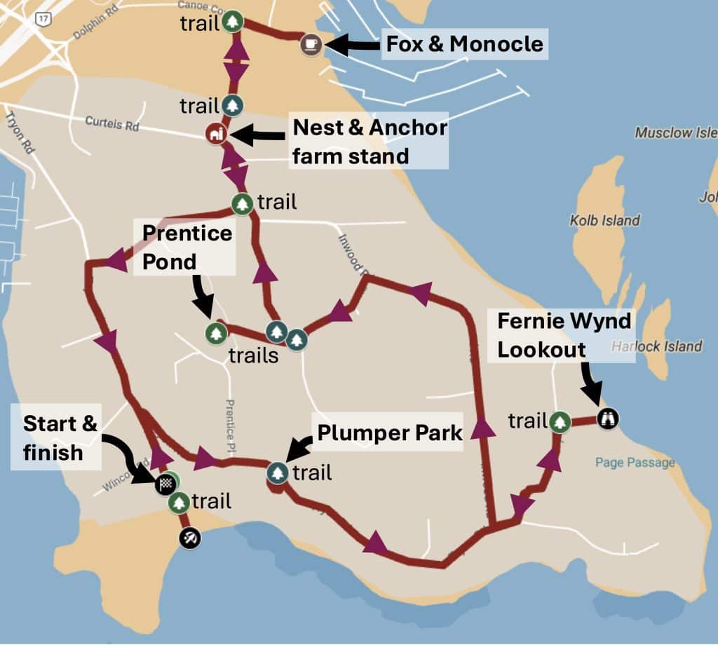
North Saanich has so much variety with respect to walks and sights to see. In this spring 2026 issue, we take a 5 km tour of the hilly Curteis Point neighbourhood just east of the Swartz Bay Ferry Terminal, visiting two very different parks, an ecologically important beach, a viewpoint of islets and seals, a delightful farm stand, and a delicious latte at the Fox & Monocle in Canoe Cove. Map below is interactive. Some bonus features are included at the end, comprising two more beautiful water views and a walk along the government dock at Swartz Bay.
What you need to know:
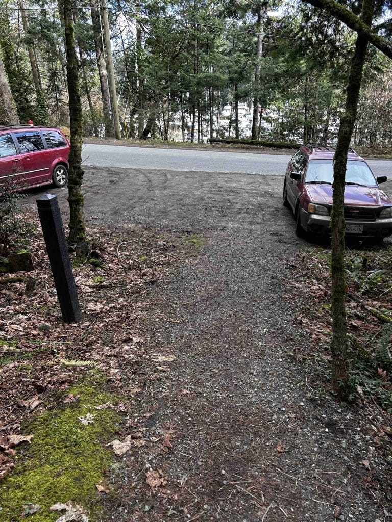
Route: You can start anywhere, but there is a convenient small parking lot on Beach Road (link here for directions using Google Maps). The description of the route starts there.
Distance: 5.0 km. Time = ~1 hour of walking.
Map showing the 5.0 km GPS trace of the path, with 32+ photos, can be viewed on your phone or computer on a MyMap, which does not require any specific app or software. You can check your own position relative to the GPS trace on your phone as you walk the route.
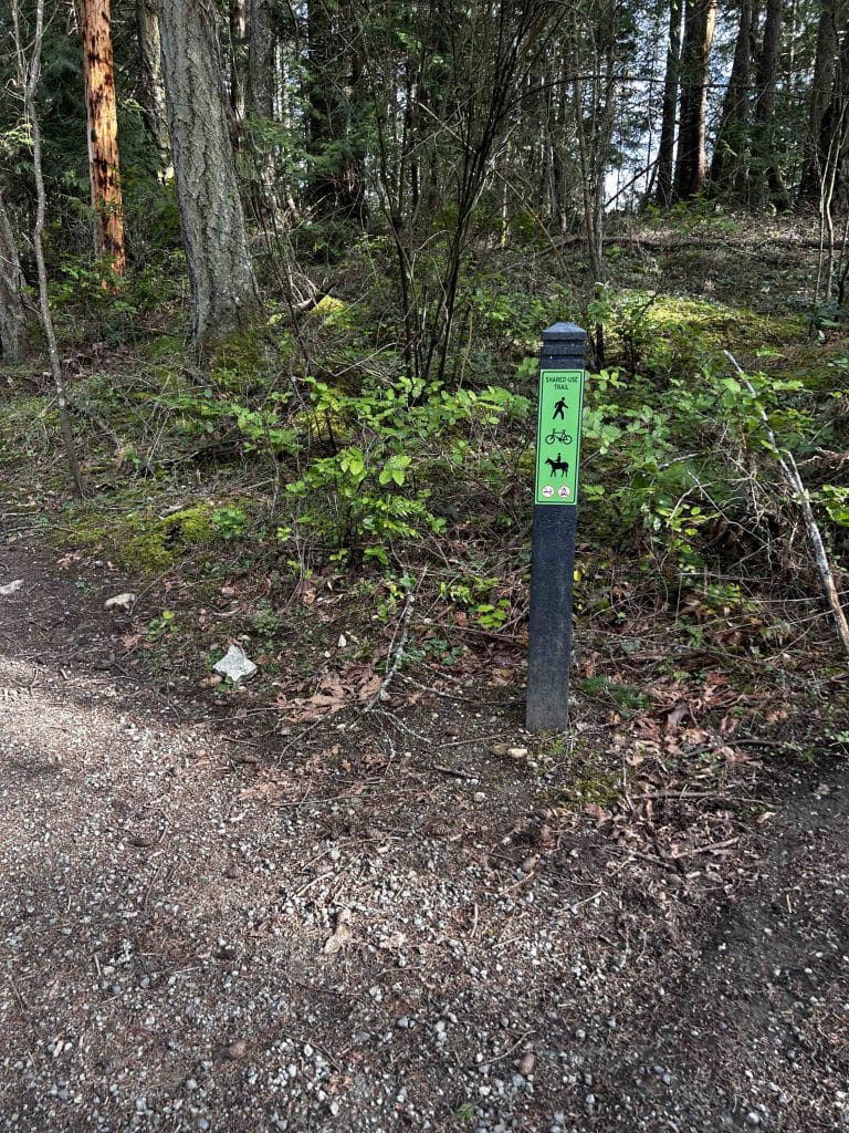
Accessibility: Packed trails that are mostly flat and walkable. The only sloping trail is the one to the Fernie Wynd lookout, and turning around anything wheeled (stroller, etc.) might be awkward.
Description of the route
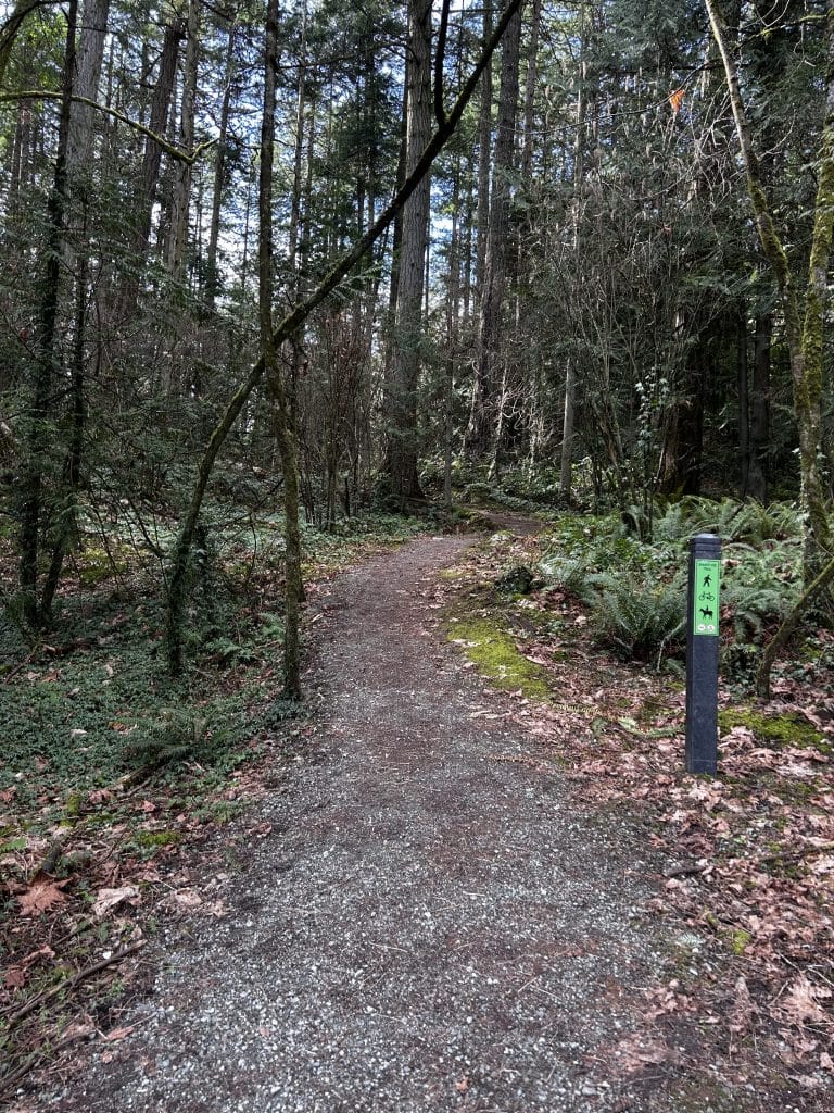
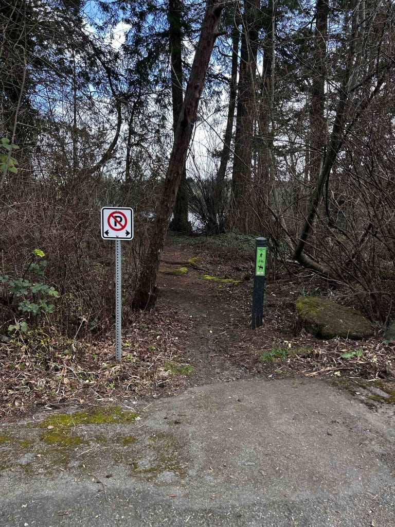
From the small parking lot to beautiful Tryon Beach. This walk is a loop, and thus one could pick up the path from anywhere. We started at the small parking lot on Beach Road, next to a distinctive rock face. From here, you are only 60 metres from the access to Tryon Beach (beach access #19 in North Saanich, link here) so head southeast to this beautiful crescent pebble beach, through a stand of poplars.
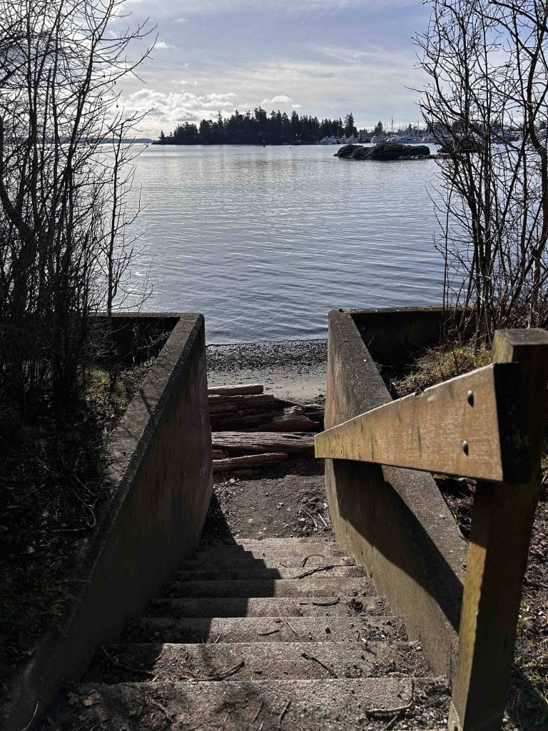
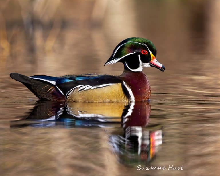
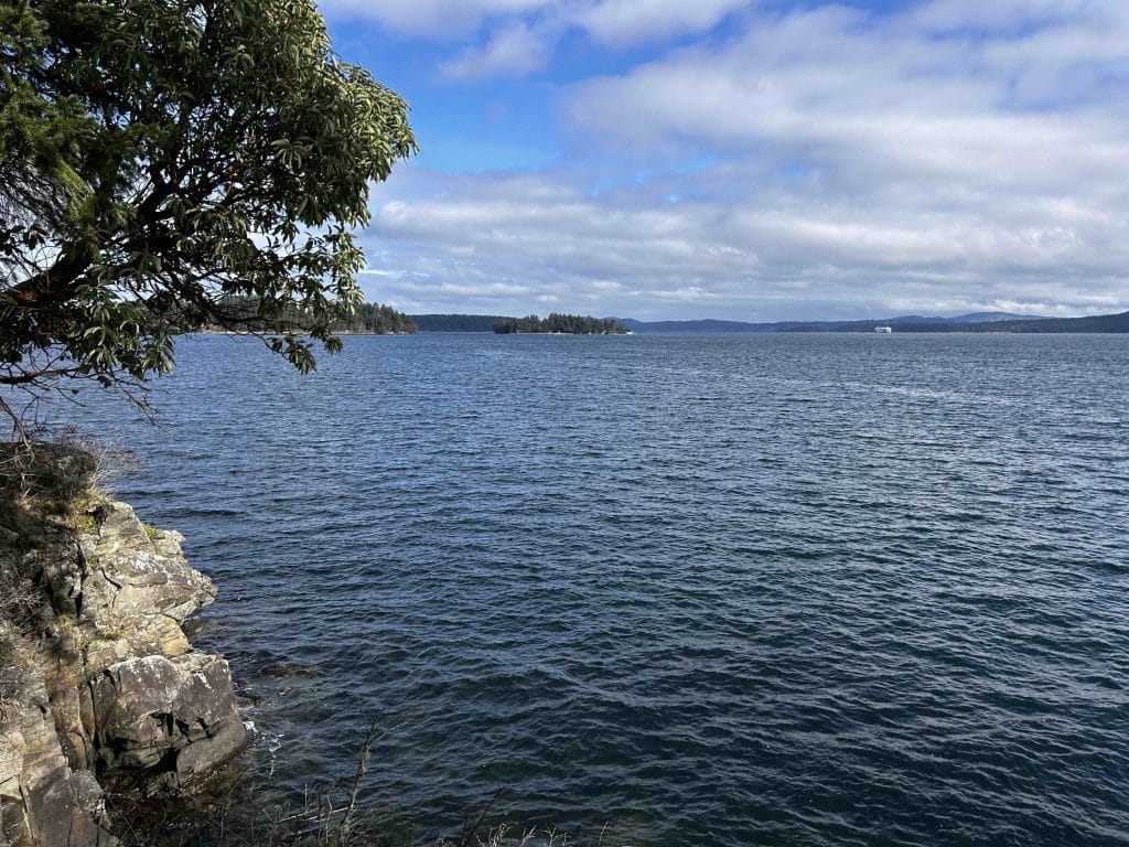
Tryon Beach is special for reasons that extend beyond beauty as it is also one of the most productive herring nurseries on Vancouver Island (it has been called a “biological gold mine”). Tryon Beach’s delicate ecosystems are, however, threatened by contamination from a nearby boat fire in February, according to Peninsula Streams & Shorelines (PSS; link here for more information). The day I visited, I saw representatives from several W̱SÁNEĆ nations, government scientists, UVic graduate students, and naturalists from PSS taking detailed observations of the beach: This beach truly is important. From Tryon Beach, you can see across to some of the smaller islets, like Forrest (PW̱ÁÁṈ), Domville (XELEXÁṮEM), and Brethour (SESI¸ÁTEN) Islands.
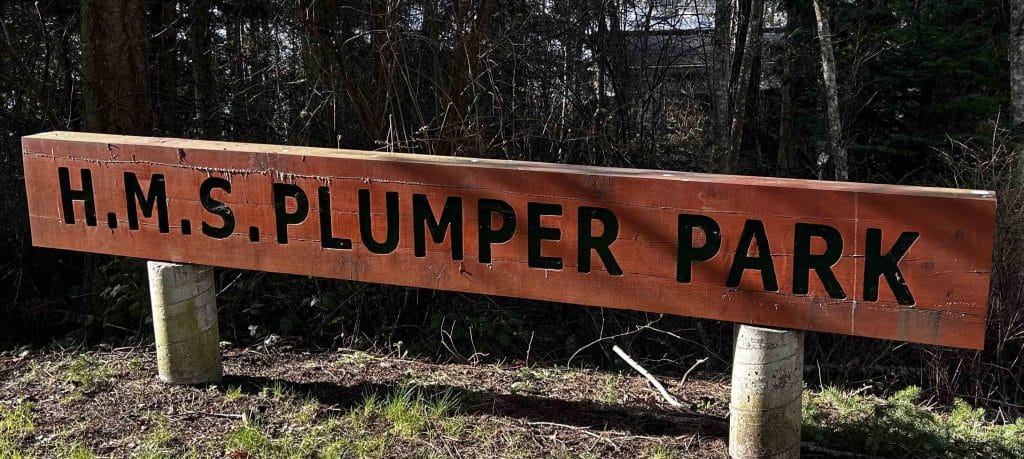
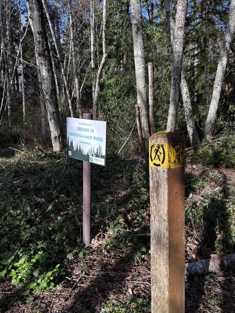
H.M.S. Plumper Park. From Tryon Beach, walk 300 m back up the trail to Beach Road, passing the parking lot until you reach the intersection with Tryon Road on your right. It will be a sharp hairpin turn, and you will head uphill along Tryon Road. Your next destination is the small but worthwhile H.M.S. Plumper Park, 300 m from the intersection, on your right-hand side. The park has a short ~200 m loop with some nice views looking out to the water to the east. This park is kept free of invasive species by Friends of North Saanich Parks.
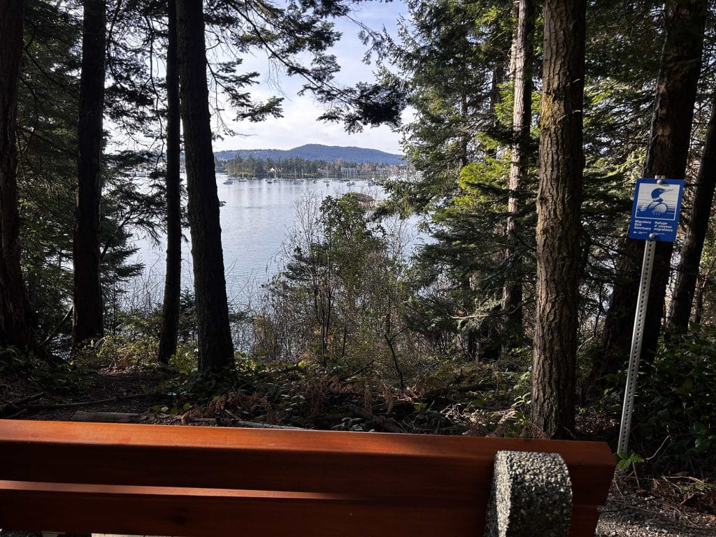
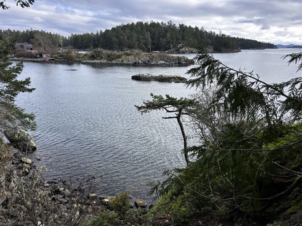
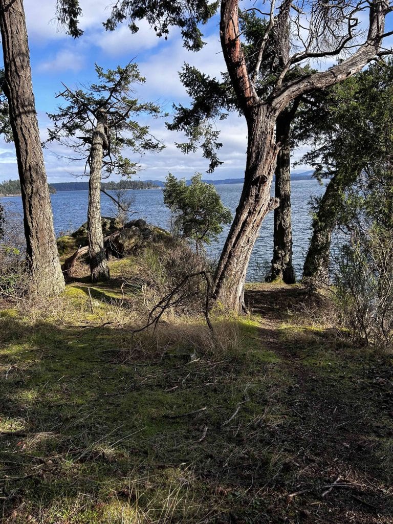
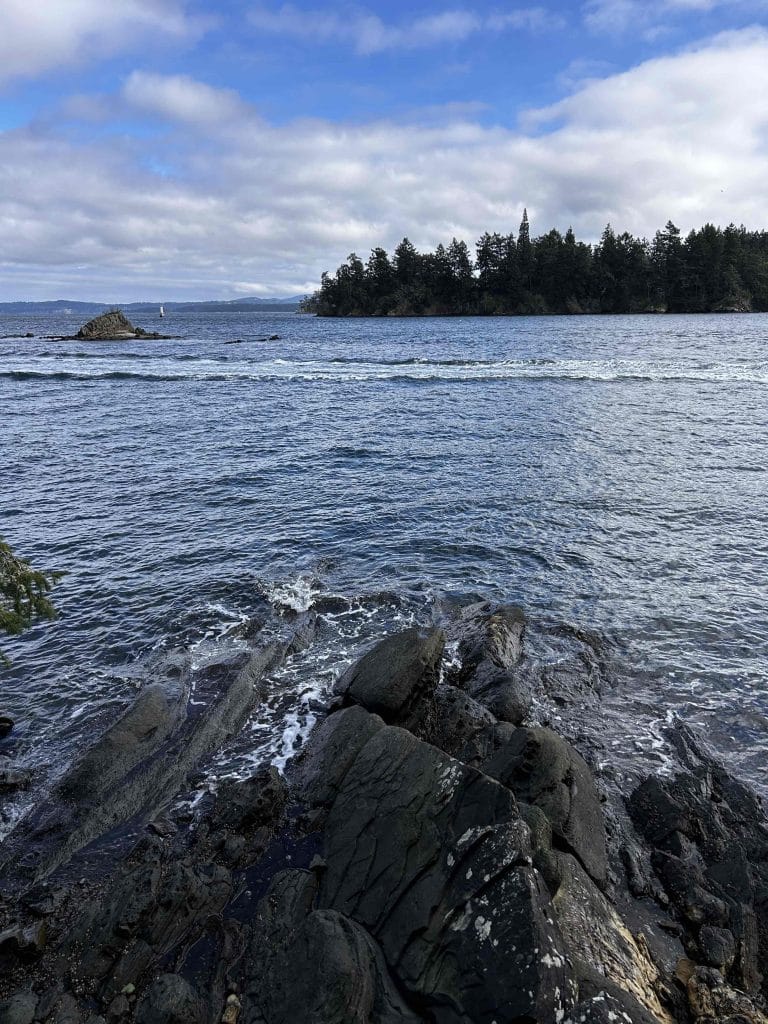
Fernie Wynd Road Lookout. From H.M.S. Plumper Park, you will walk 700 m to the next destination, the trail on Fernie Wynd Road that leads to an unusual lookout. Head east along Tryon Road, and then turn left (north) onto Fernie Wynd Road. From this intersection, the marked trail to the lookout is 200 m on your right; walk the 100 m down the trail to the strange narrow fence, and peek out to islets that when I was there, were covered with a pod of seals lounging on the rocks in the sunshine. Turn back and walk to Fernie Wynd Road and then back the way you came, to Tryon Road.
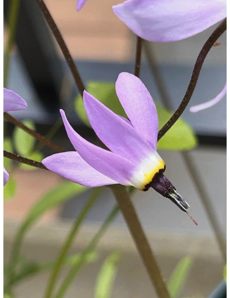
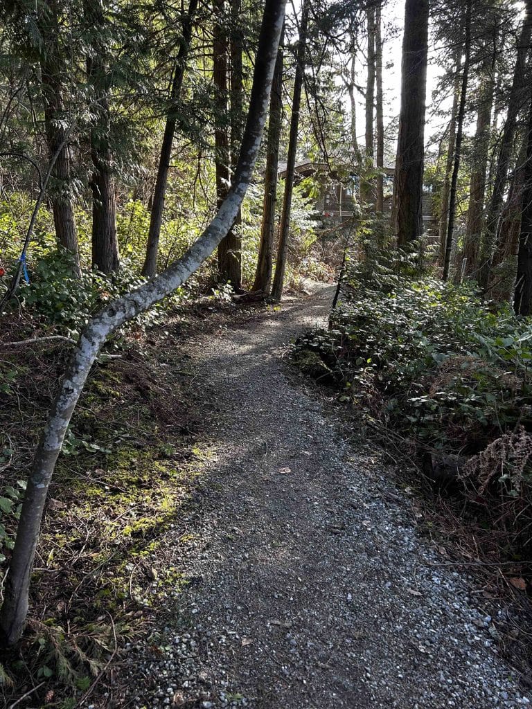
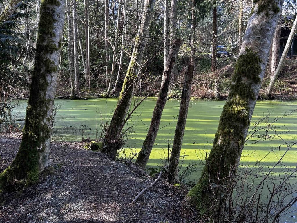
Prentice Pond Park. Once you are on Tryon Road, backtrack 40 m to the west, and then take the first road on your right, Inwood Road. Follow Inwood Road 600 m north to the intersection with Boas Road. You will follow Boas Road for 200 m until you see a trail on your right – take the trail to the pond, and at this time of year, you can follow your nose as the impressive musky aroma of the native skunk cabbage (ȾOQI¸in SENĆOŦEN) with their brilliant yellow blooms can be detected when the air is still. There is an interesting log bench seat there to watch the birds. When you are ready to proceed, head back east 100 m along the same trail, but take the branch heading north to the end of Dunne Road. Your next stop is Canoe Cove.
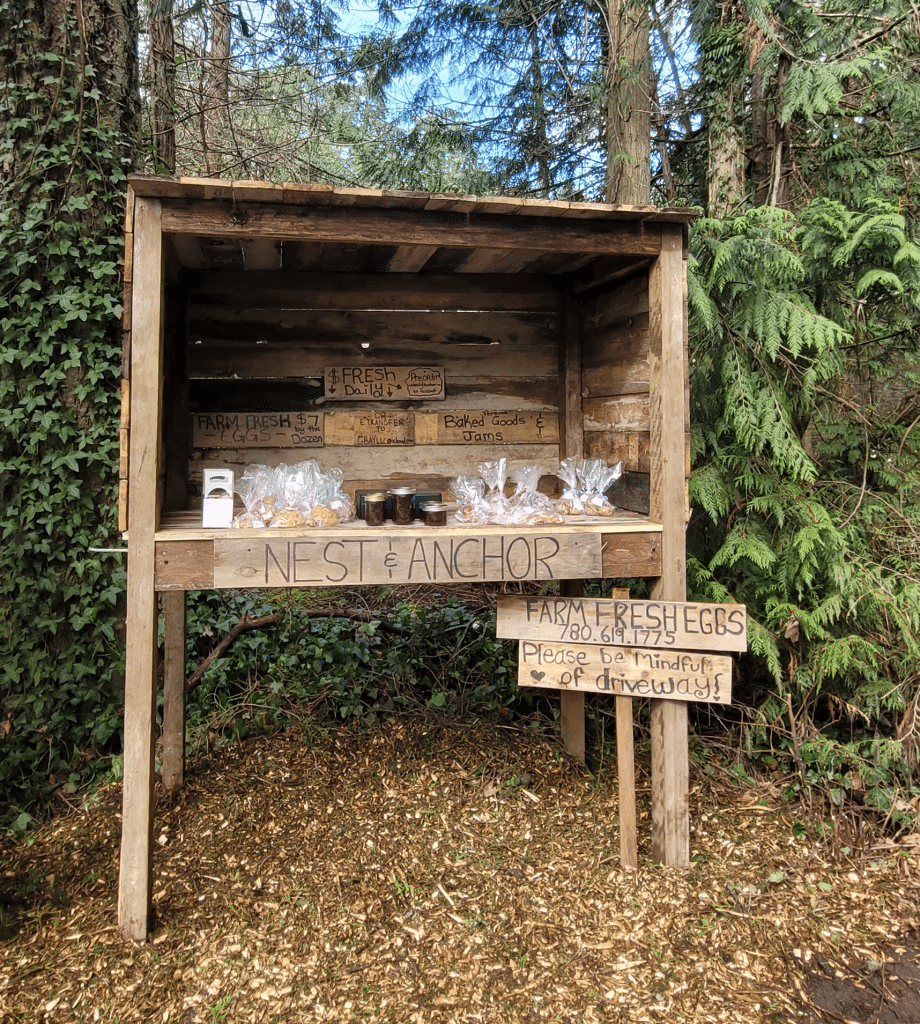
Farm stand, Canoe Cove Marina (and coffee!). From the end of Dunne Road, walk 300 m to a new farm stand called the Nest & Anchor (Facebook link here) that on that day was selling baked goods, eggs, and preserves. Turn right at the farm stand onto the short dirt road you will see the CRD trail entrance marker 15 m away on the left. Take that leafy CRD trail down towards Canoe Cove Road – you will see branch in the trail, and a sign that reads “Private property beyond this point”. It is very confusing to understand where the private property starts as it provides no details, but if you continue walking straight down to Canoe Cove Road, you are following the official CRD trail, and indeed, you will see the CRD trail marker where it meets the road.
Turn right onto Canoe Cove Road and the then carefully walk the 200 m on the shoulder to Canoe Cove where you will see the Fox & Monocle on your right. We did stop for a couple of lattes and yes, a delicious baked treat on their sunny south-facing patio.


Return to the start. The next part of the walk to complete the loop is 2.1 km, and it takes you back to the small parking lot on Beach Road. Walk back up Canoe Cove Road to the CRD trail entrance just north of the Stonehouse Pub, and head back up to Dunne Road. Walk west back the way you came on Dunne Road 100 m until you see the CRD trail marker on your left. Take that 200 m trail to the end of Tryon Place, and walk 200 m along this road to Tryon Road. Turn left, and then it’s 600 m back to the parking lot.
Bonus sights!
Want to walk a little farther and see two more viewpoints take a toodle along the public dock? Just to the north of Curteis Point is Swartz Head, and it’s a worthwhile detour. Sights are all indicated on the Google MyMap, but links to directions are also provided below.
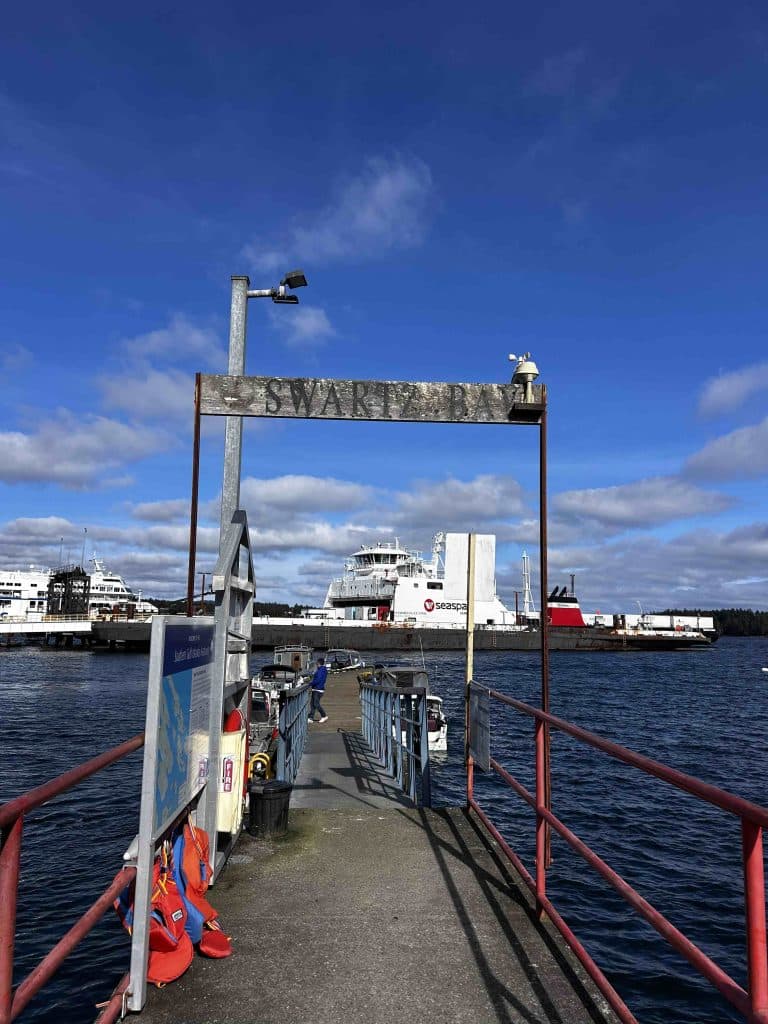
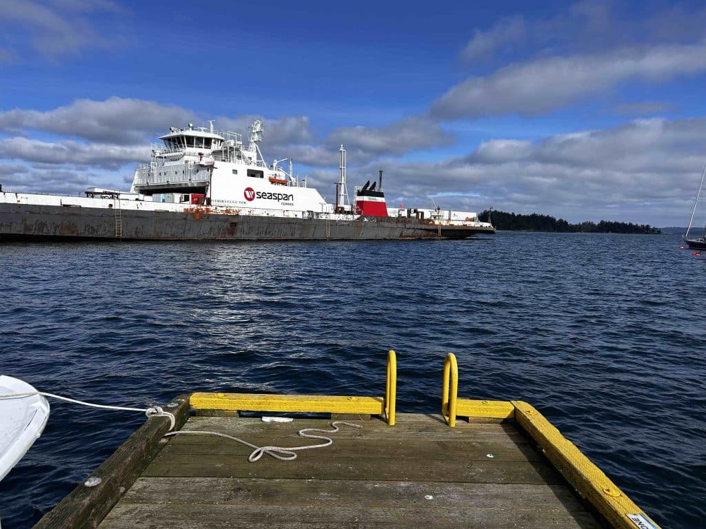
Swartz Bay Government Dock. The dock is located at the end of the short road, Barnacle Road. Quite an interesting view of the comings and goings of the BC and Seaspan Ferries. Link here for directions.
Want to learn more about the history of Curteis Point?
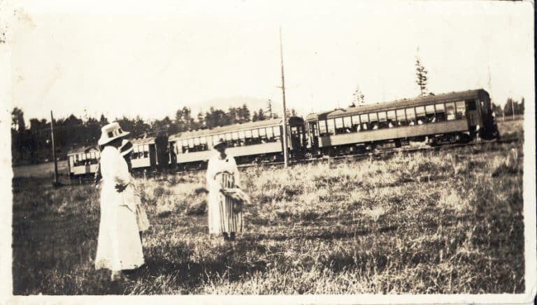
M. Wylie Blanchett (Capi), the author of The Curve of Time (1961), lived in Curteis Point. Her book remains one of BC’s best-selling non-fiction books. Here’s a review of Capi’s Curve of Time as well as Cathy Converse’s book, Following the Curve of Time, which contextualizes Capi’s book: The Curve of Time – Van Isle History Explorer.